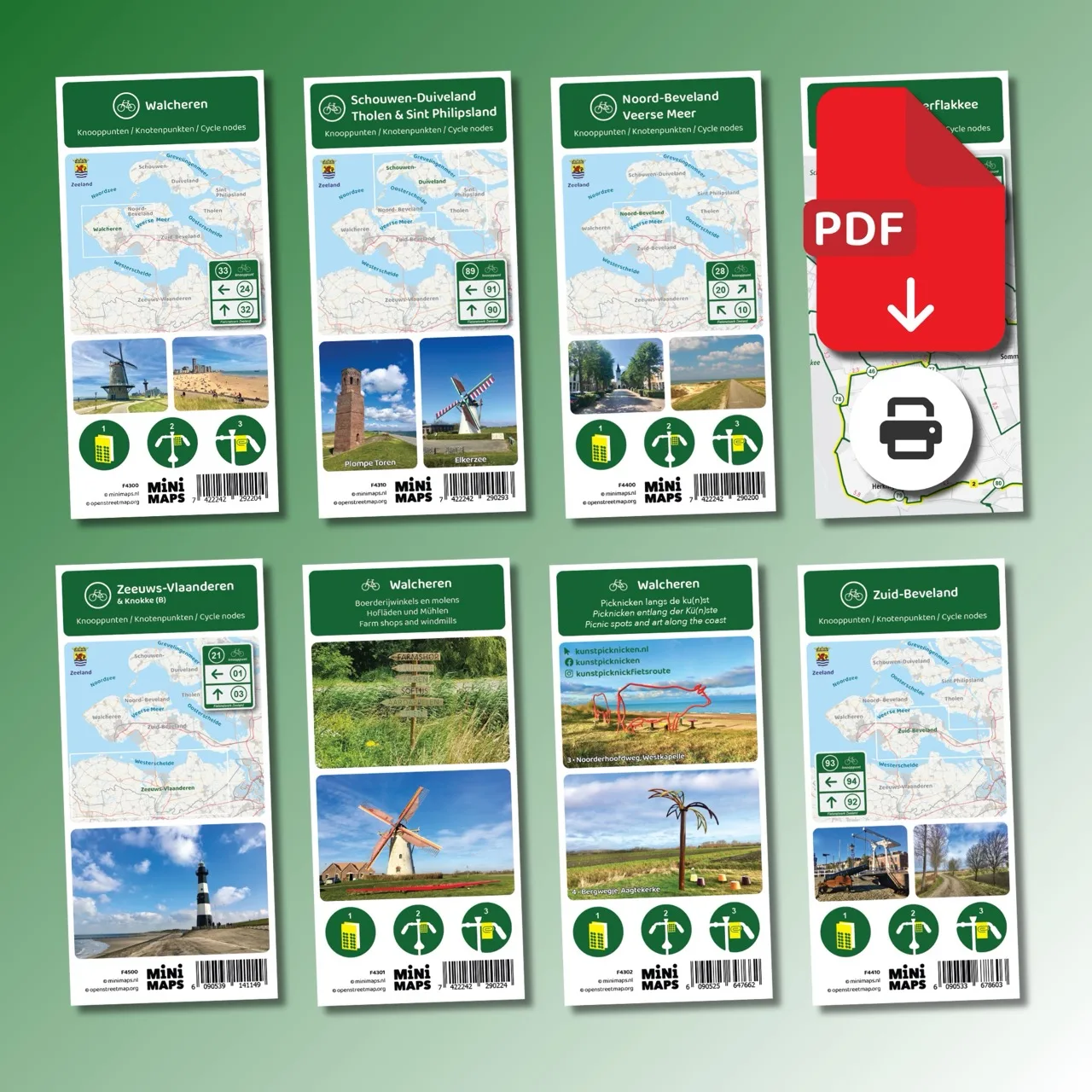
Digital download (PDF), suitable for home printing
Large-format printed cycling map
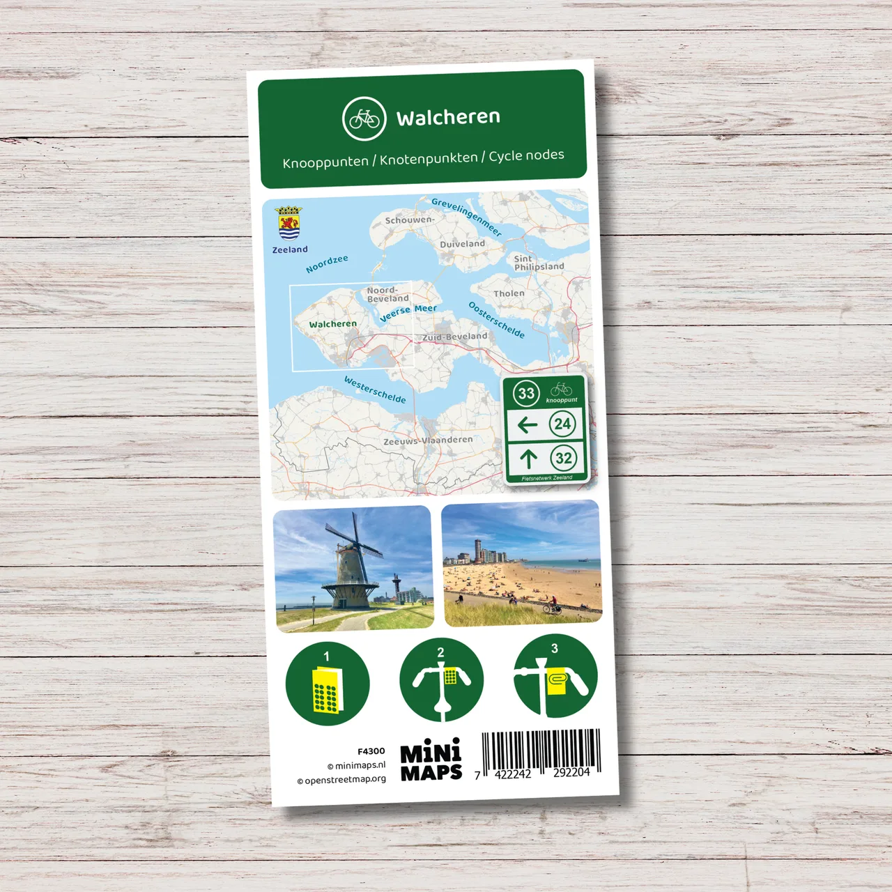
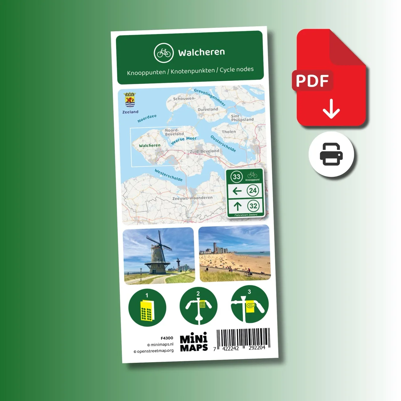
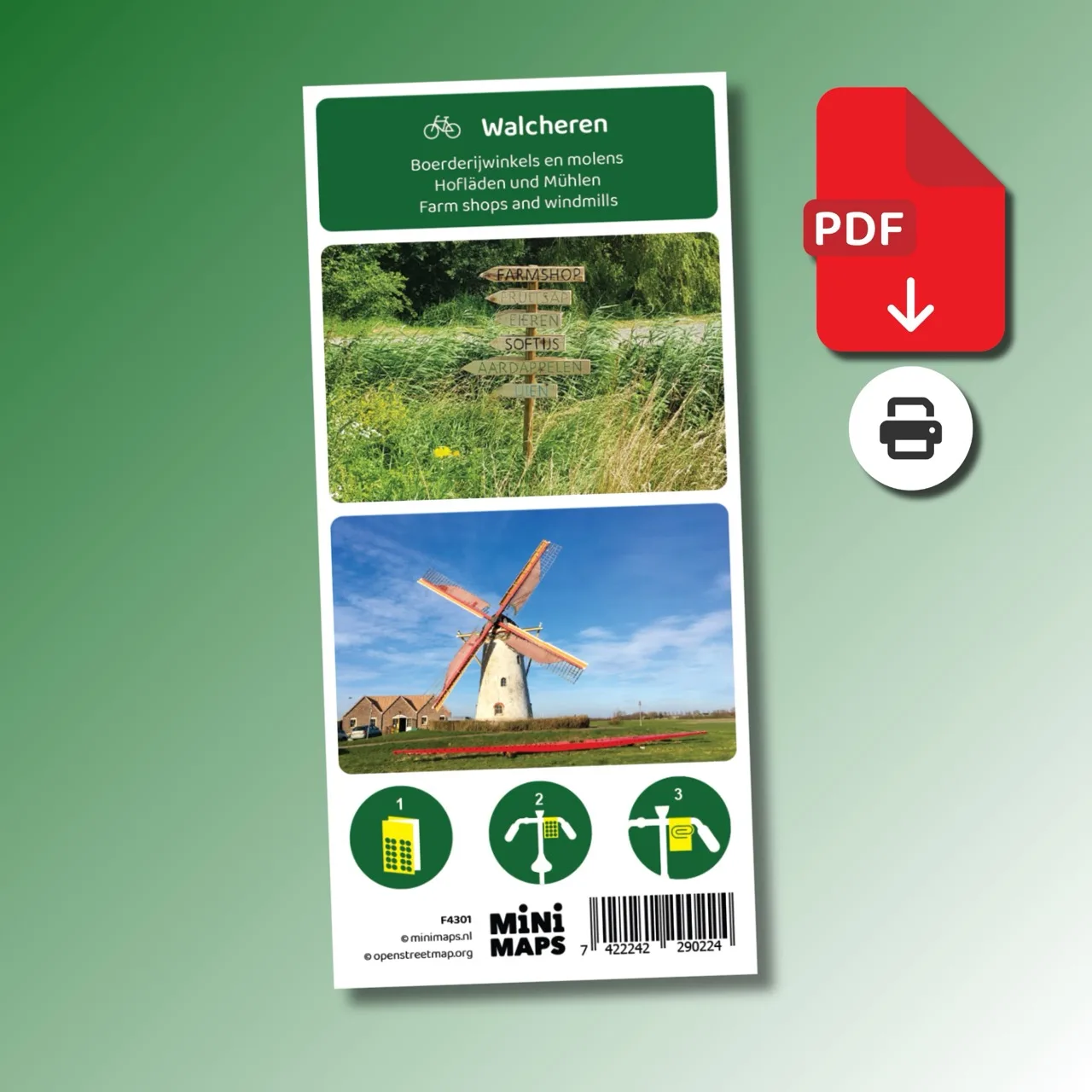
Printed cycling map of Walcheren
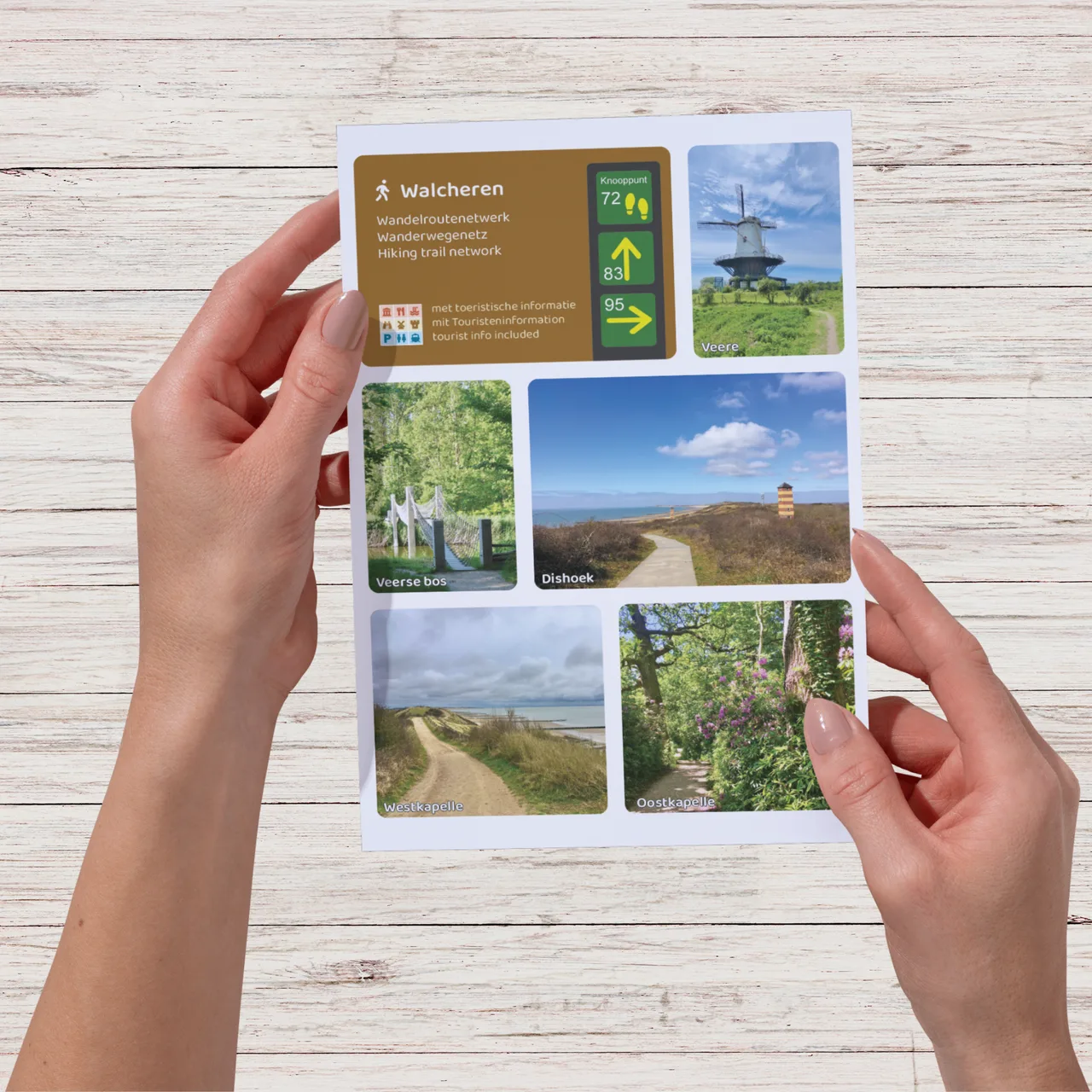
Large-format printed walking map
Digital download (PDF), suitable for home printing
Digital download (PDF), suitable for home printing
Digital download (PDF), suitable for home printing
Digital download (PDF), suitable for home printing
Digital download (PDF), suitable for home printing
Digital download (PDF), suitable for home printing
Digital download (PDF), suitable for home printing
Digital download (PDF), suitable for home printing
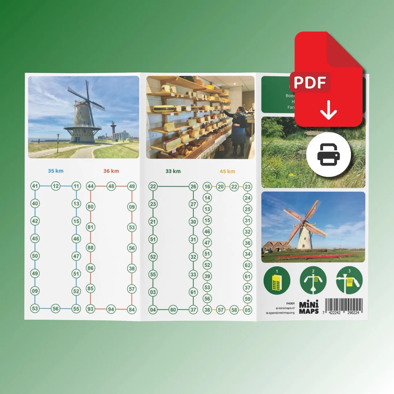
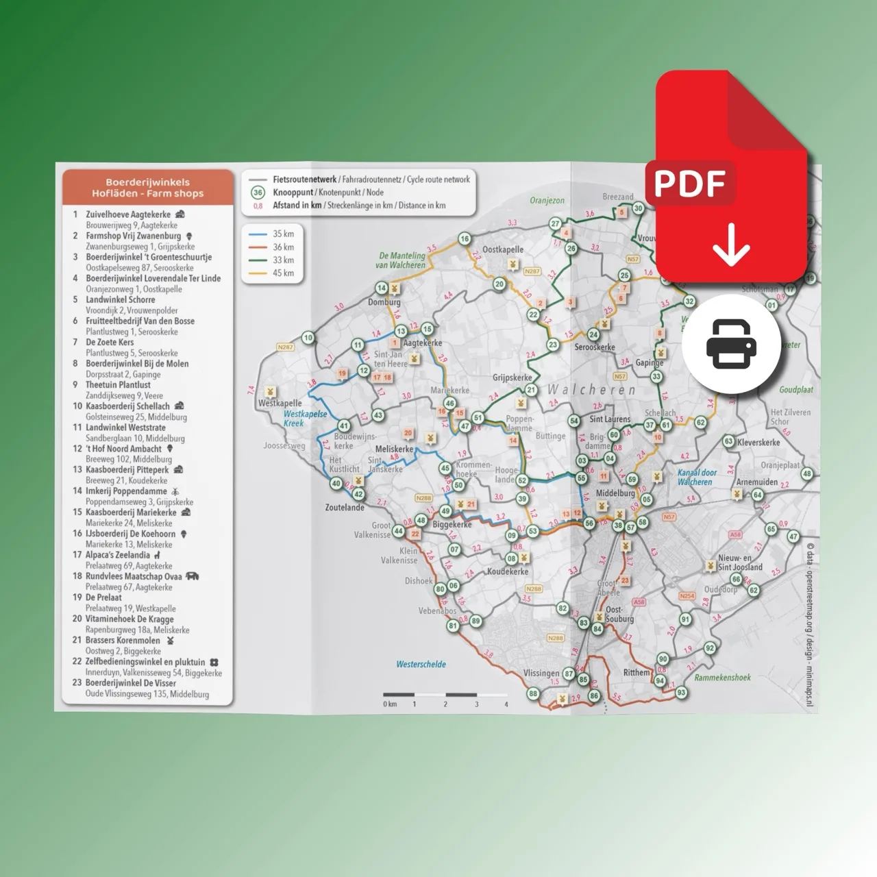
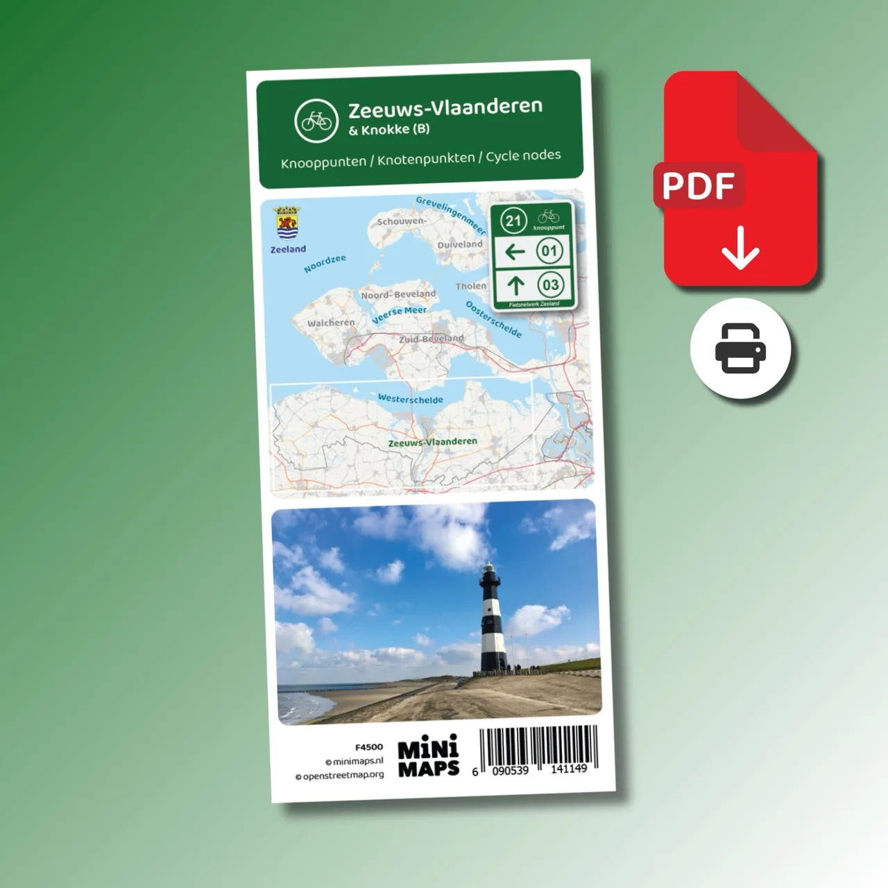
Walcheren is a beautiful region to explore by bike. With the extensive cycling node network you can easily create your own routes through villages, dikes and the open countryside of Walcheren. This A4 bike map of Walcheren provides a complete overview of the cycling route network with all nodes and distances.
This special edition focuses on the rural side of Walcheren. Along the way you pass farm shops selling local products such as fresh milk, cheese, vegetables and fruit juices. All historic windmills are also clearly marked on the map.
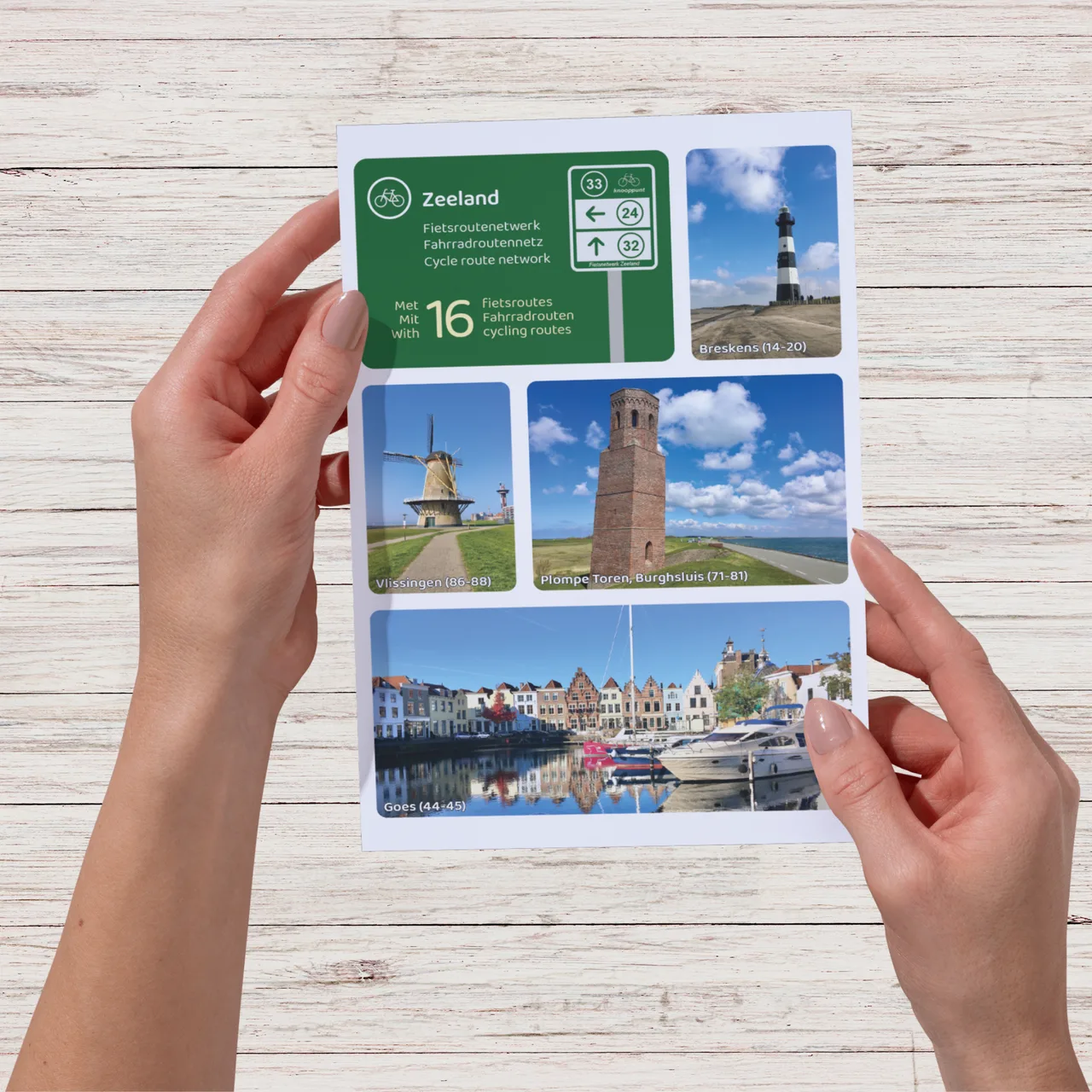
Why this bike map?