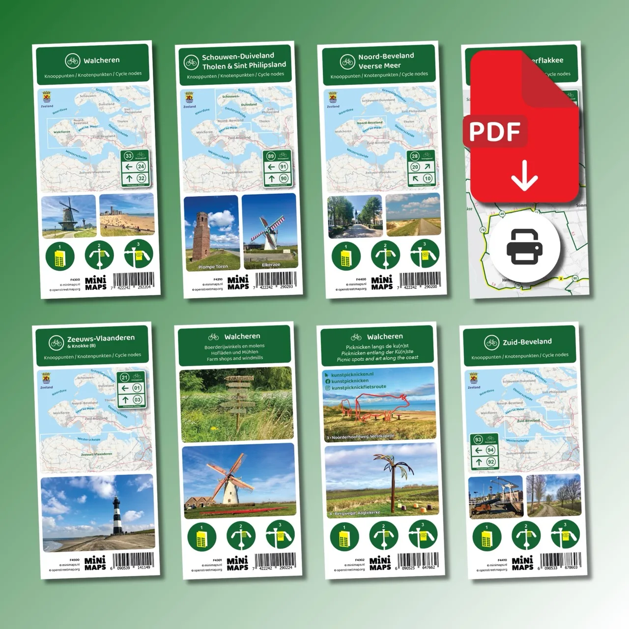
Large-format printed cycling map
A2 cycling map of Zeeland with node network, distances, 16 cycle routes and ferry connections.
- Large printed cycling map in A2 format
- Printed on both sides, 60 x 42 cm
- Complete cycling node network of Zeeland
- Includes 16 specially designed node routes
- Includes ferry connections and small ferries
Discover Zeeland by bike with this comprehensive cycling map of the entire province. Zeeland is one of the best-rated cycling provinces in the Netherlands and offers an exceptional variety of landscapes and routes. Cycle through dunes and along sandy beaches, cross the open Zeeland countryside with picturesque villages, follow the dikes of the Oosterschelde and Westerschelde or ride along the Veerse Meer and Grevelingenmeer.
The Delta Works are also part of cycling in Zeeland. With the impressive Oosterscheldekering as a highlight, you will discover how strongly Zeeland is connected to water, wind and open space.
Why this cycling map?
- Large, clear A2 map with the complete cycling route network and distances between nodes.
- Create your own routes using Zeeland’s cycling node network.
- Includes 16 ready-made node routes across Zeeland, grouped by the themes countryside, dunes and beaches, and dikes and shores.
- Covers all Zeeland regions: Zeeuws-Vlaanderen, Walcheren, Noord-Beveland, Zuid-Beveland, Schouwen-Duiveland, Tholen and Sint Philipsland.
- Includes Goeree-Overflakkee and Bergen op Zoom.
- Includes the Zeeland section of the LF Coastal Route (EuroVelo 12), LF13 Schelde-Rhein Route (EuroVelo 4) and LF Waterline Route.
- Includes ferry connections and small ferries.
This map is sold through a partner shop; checkout takes place on our partner’s website.