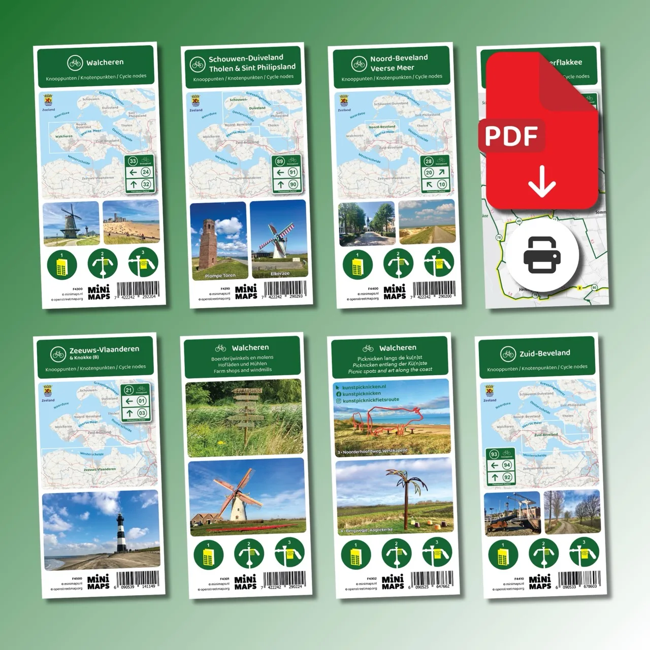
Digital download (PDF), suitable for home printing
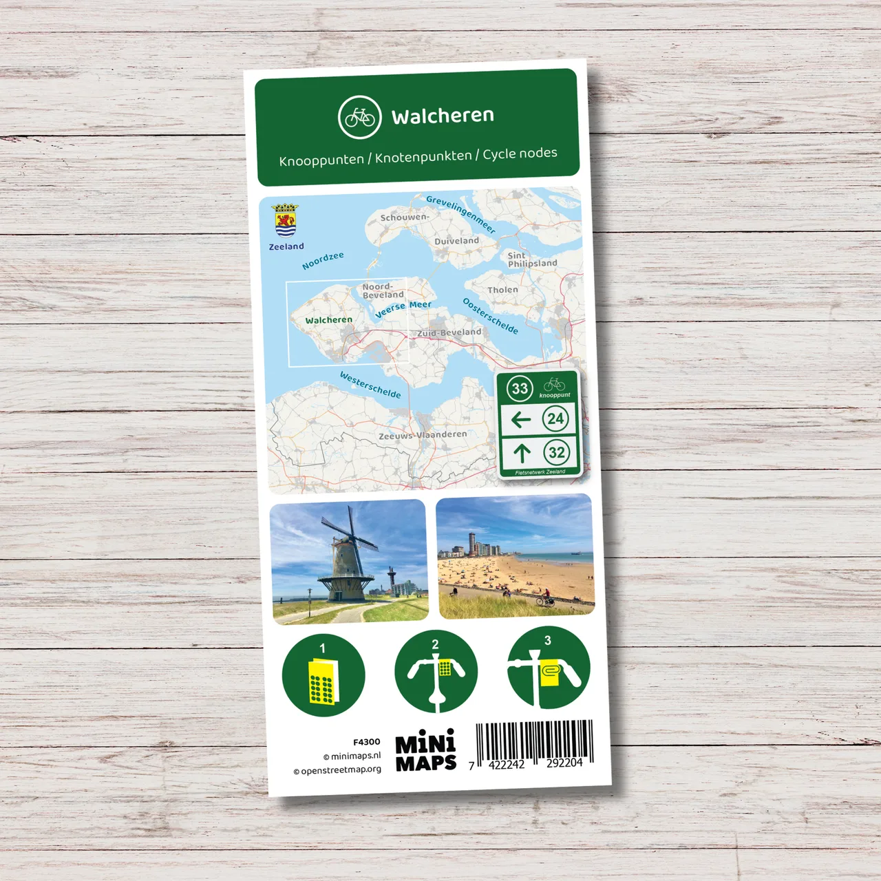
A4 bike map of Walcheren as PDF download with cycling nodes, route network, distances and four ready-made routes.
- Digital download in PDF format
- Available for immediate download after purchase
- A4 format, two pages
- Suitable for home printing
- Ink-saving version
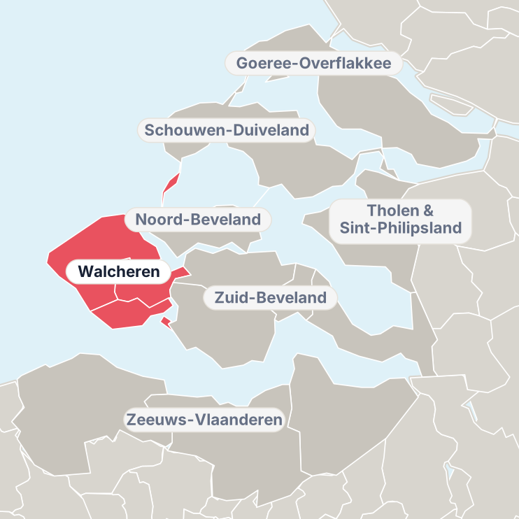
Walcheren is one of the most popular regions in Zeeland to explore by bike. With the extensive cycling node network you can easily create your own routes along beaches, historic towns and open coastal landscapes. This A4 bike map of Walcheren provides a complete overview of the cycling route network with all cycling nodes and distances.
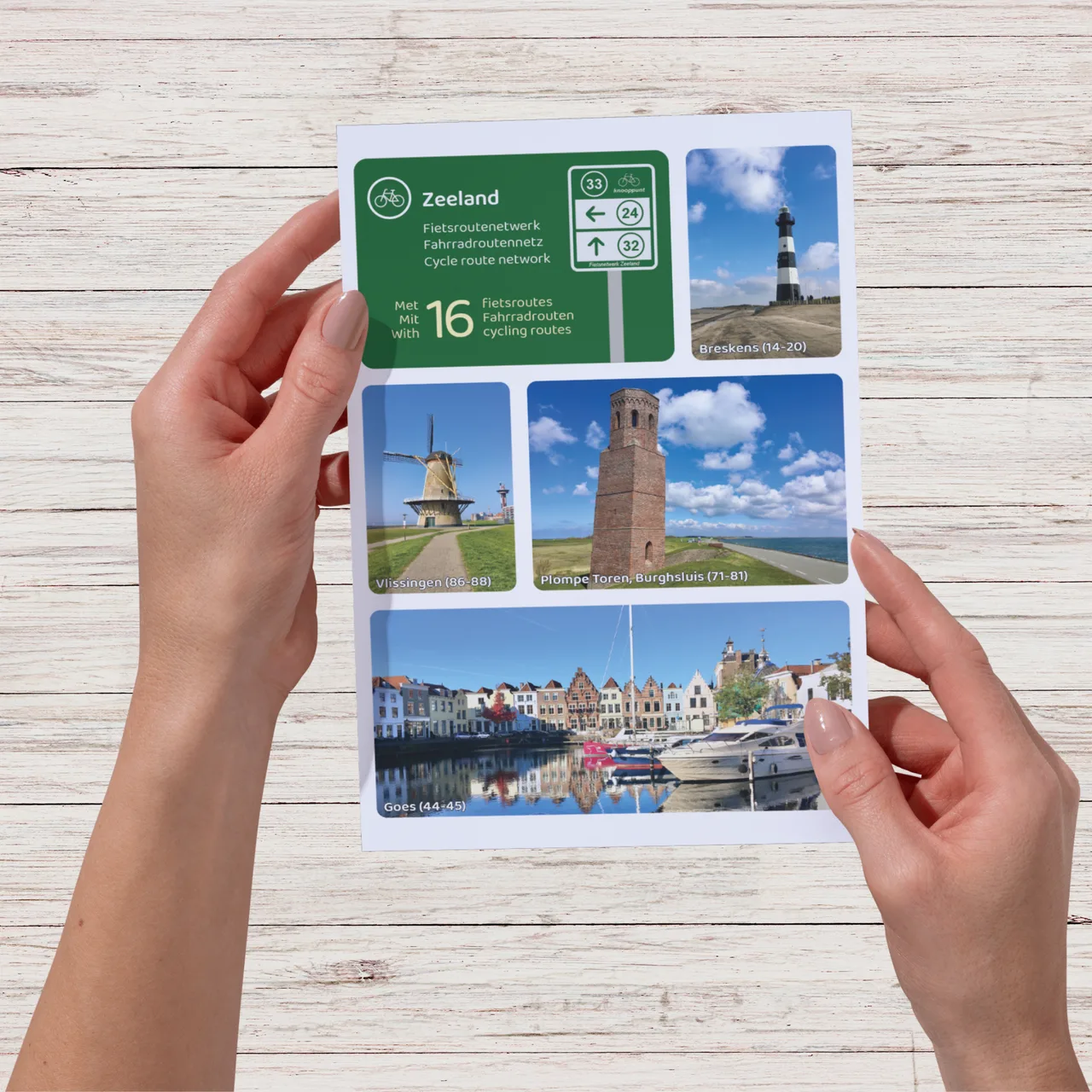
From the boulevard in Vlissingen to the beaches of Zoutelande and Domburg and the historic town of Veere on the Veerse Meer: this map helps you plan a varied cycling trip across the entire peninsula. Nature areas such as De Manteling and Oranjezon are also directly connected to the network.
Why this bike map?
- Compact A4 map with a clear overview of the cycling route network and distances between nodes.
- Create your own routes using the complete cycling node network.
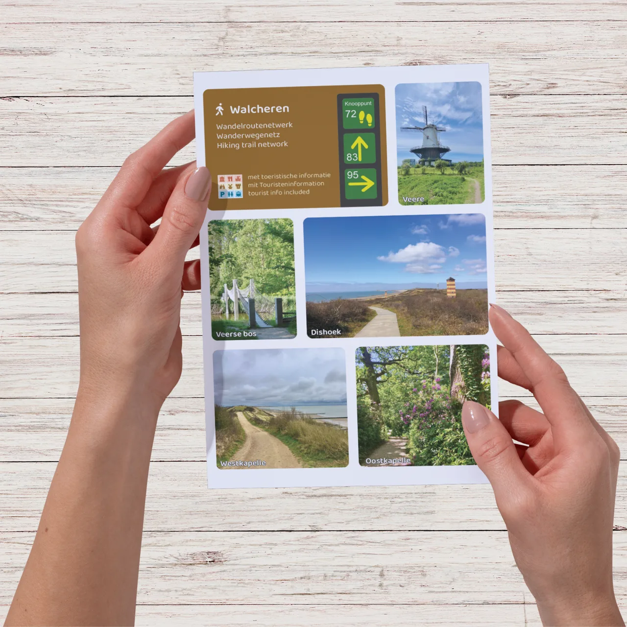
- Includes tourist information such as sights and museums.
- Includes four ready-made node routes across the most beautiful parts of Walcheren.
- Includes an overview map of Neeltje Jans.