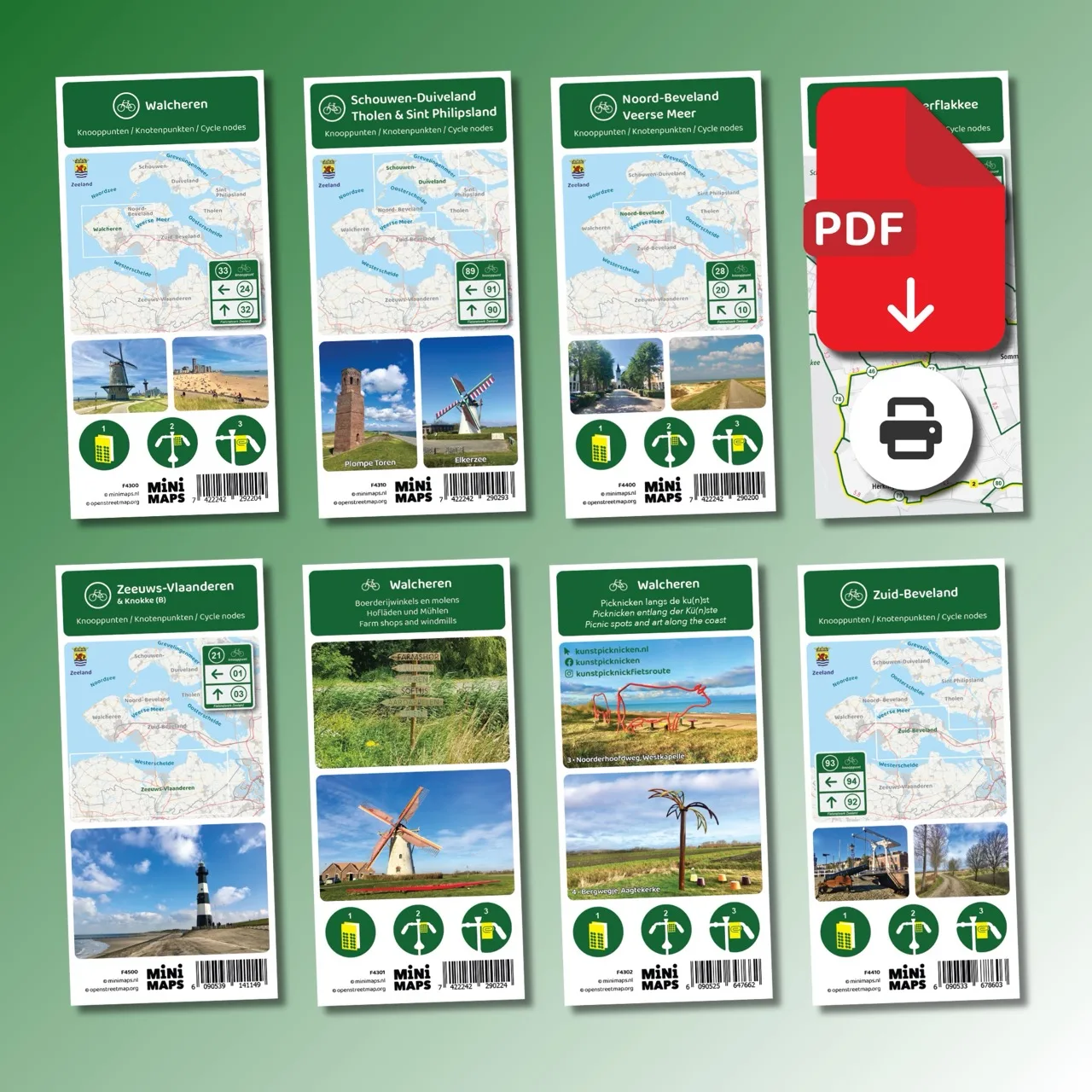
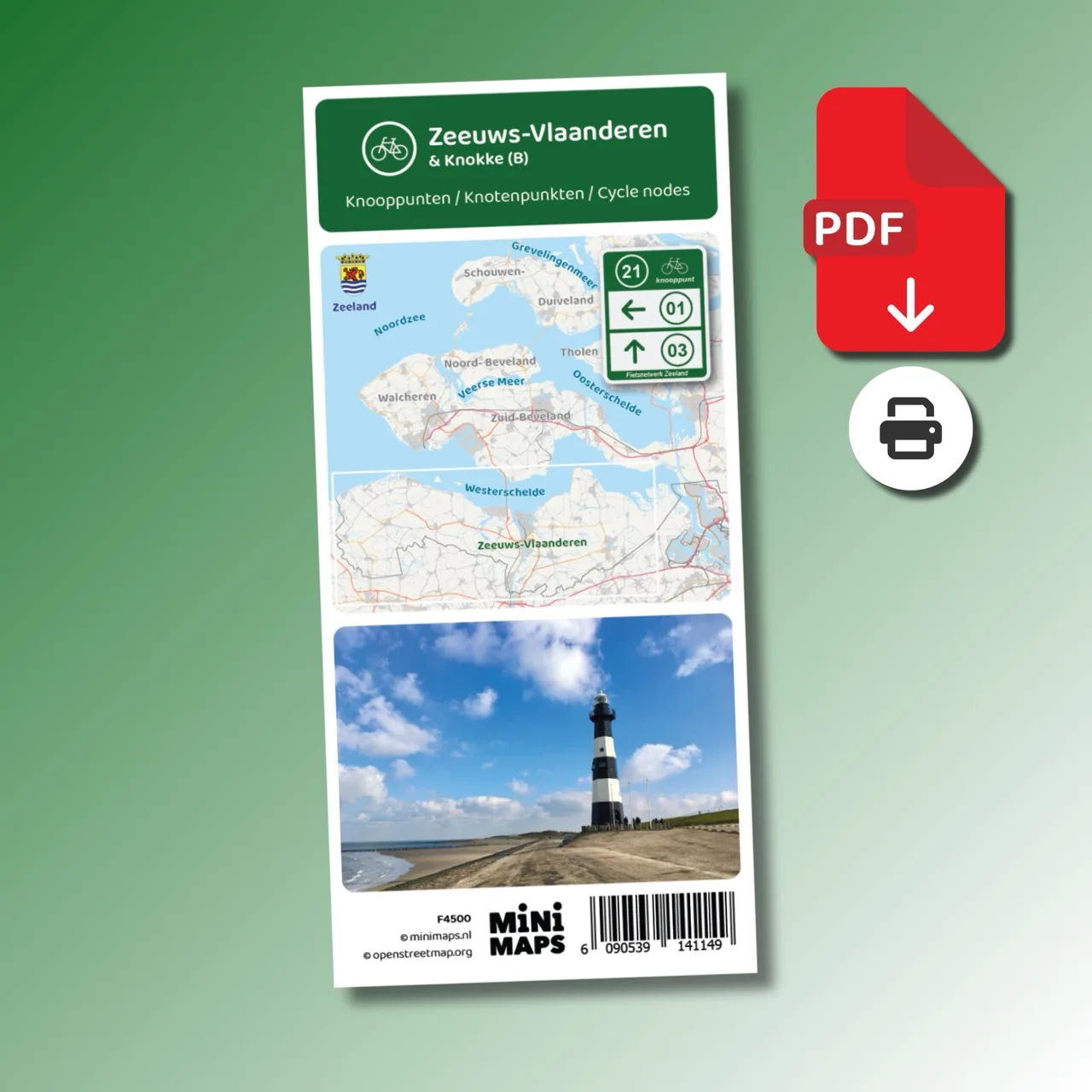
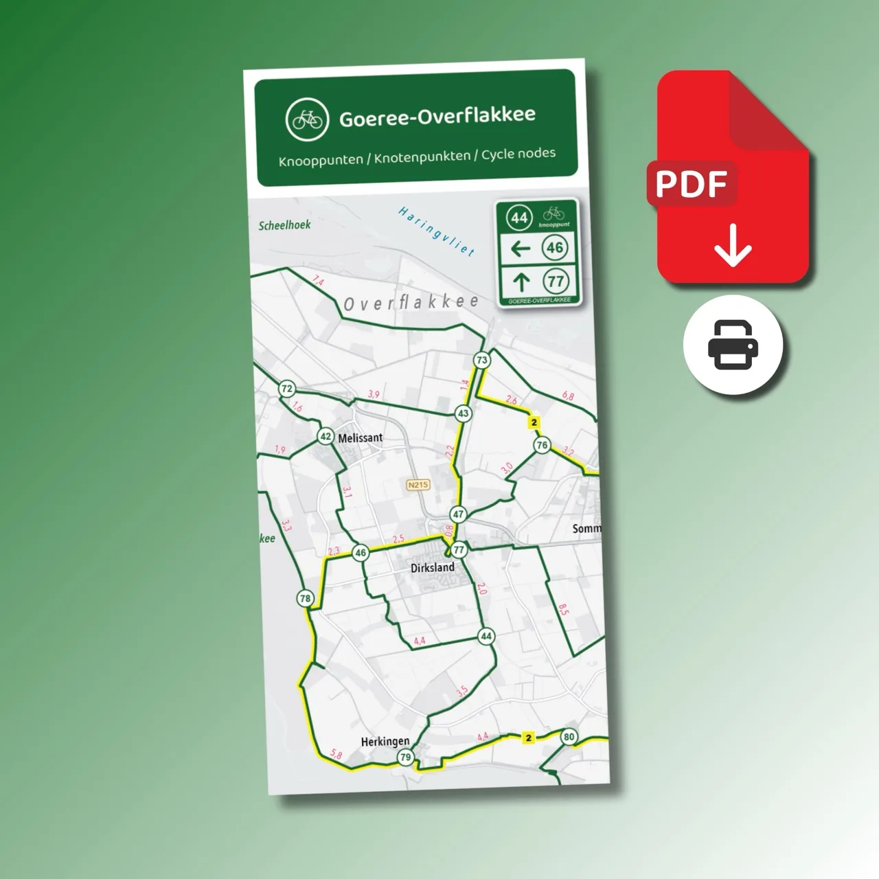
Digital download (PDF), suitable for home printing
Large-format printed cycling map
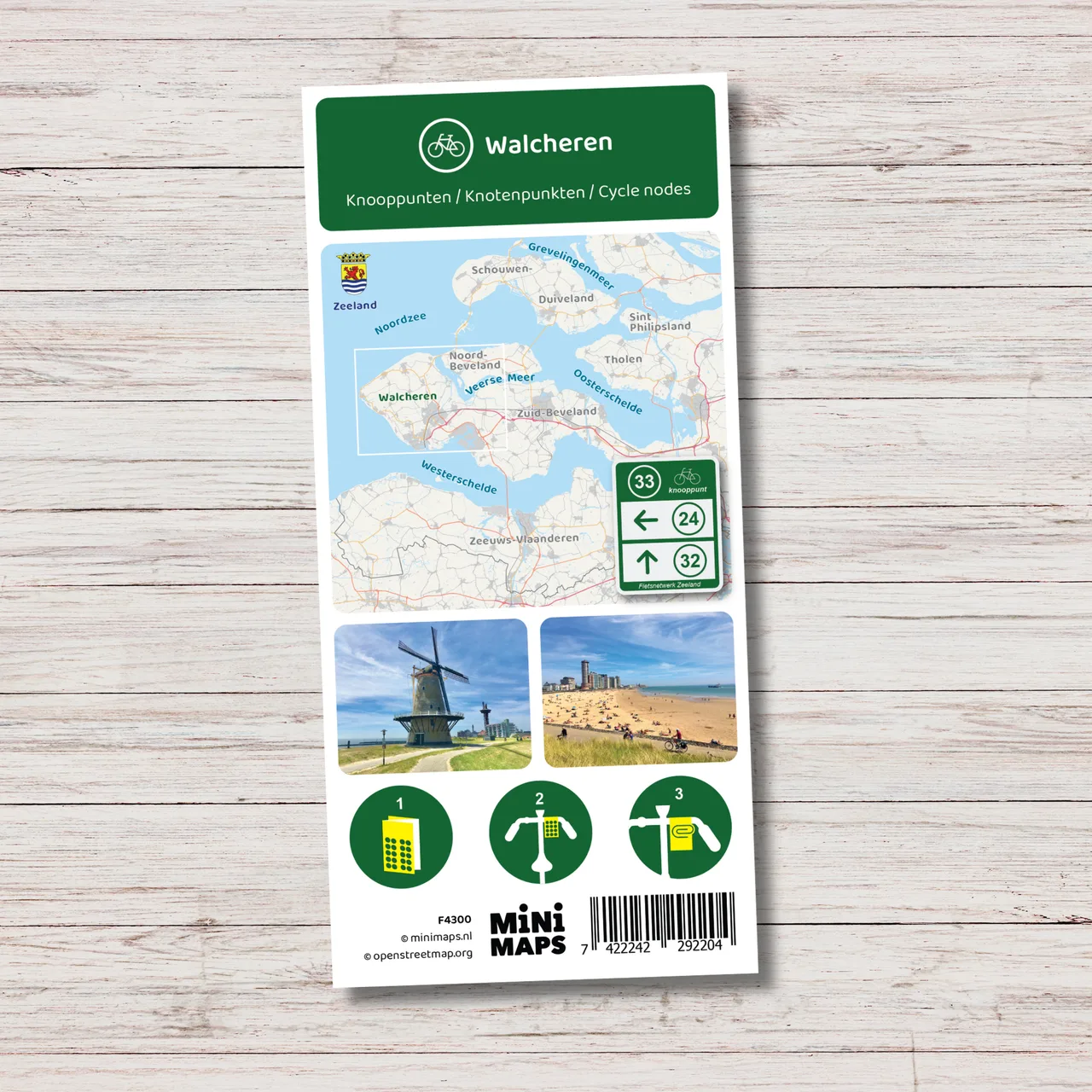
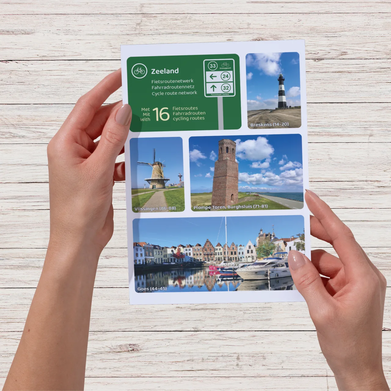
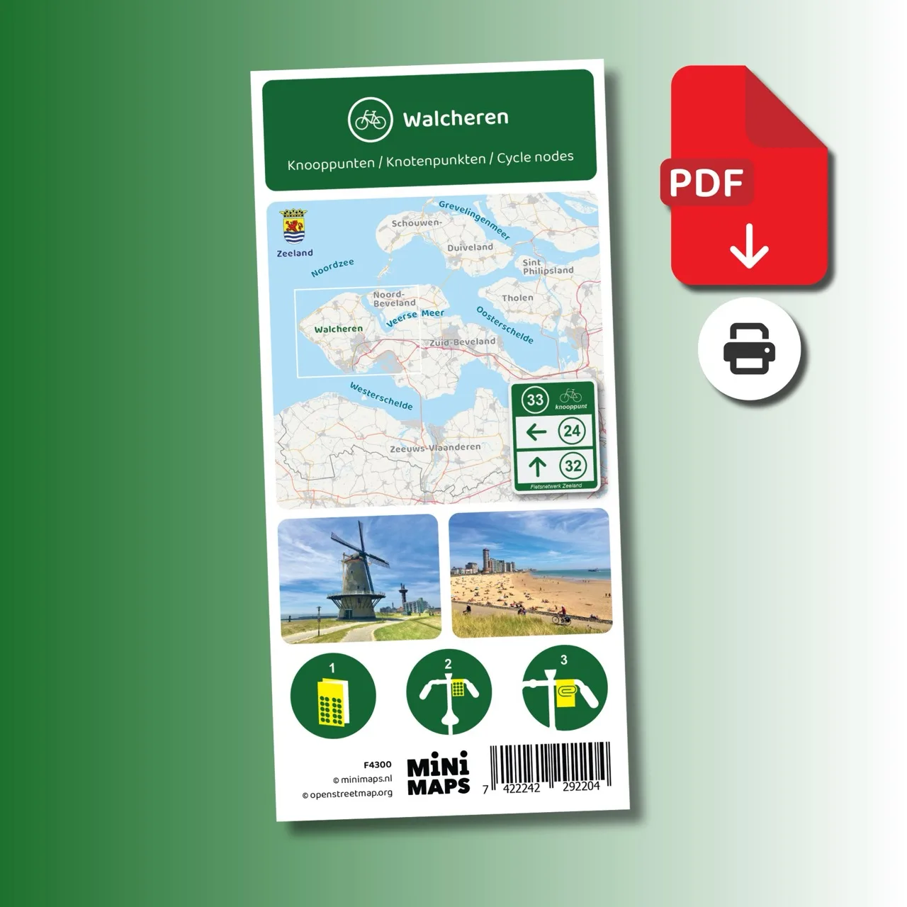
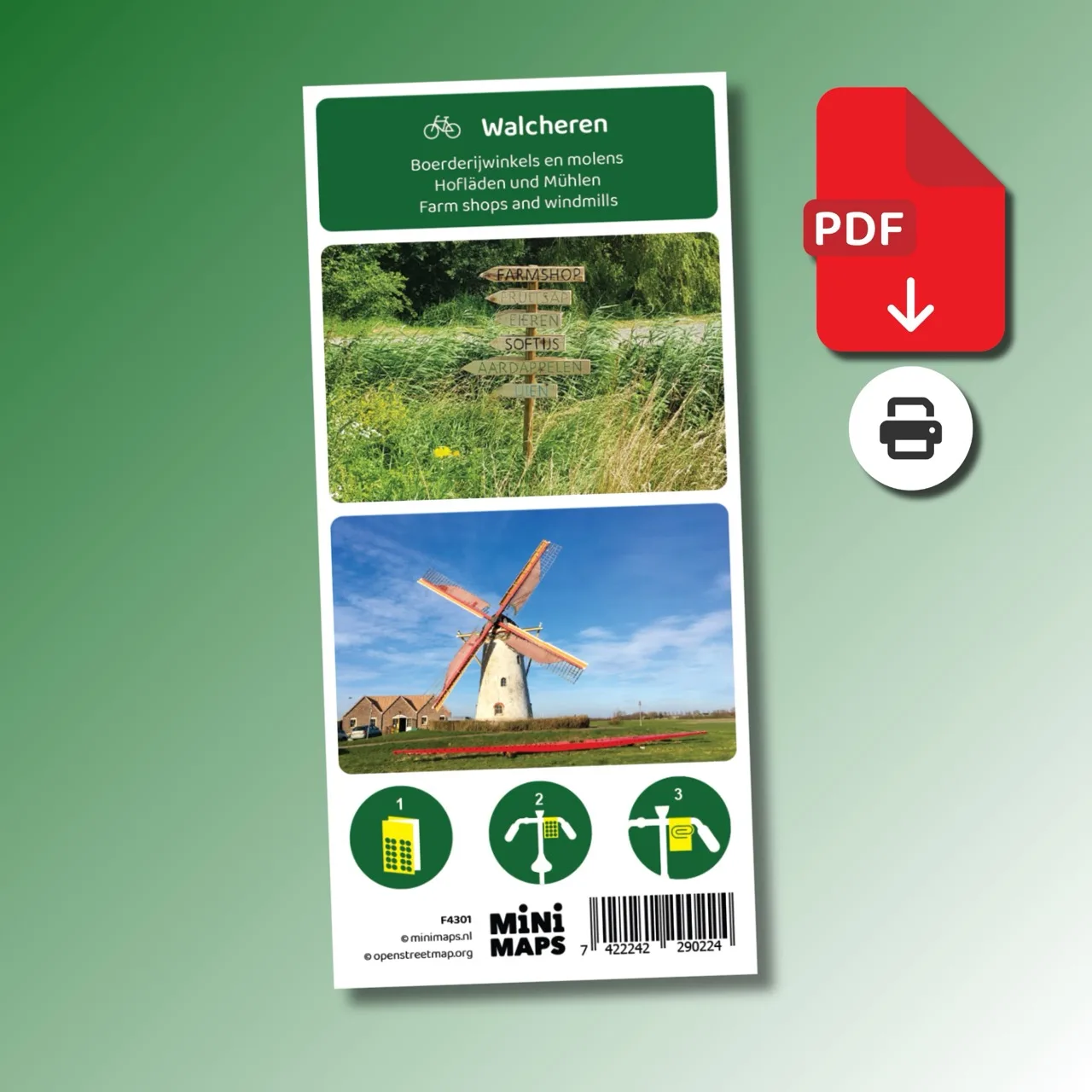
Printed cycling map of Walcheren
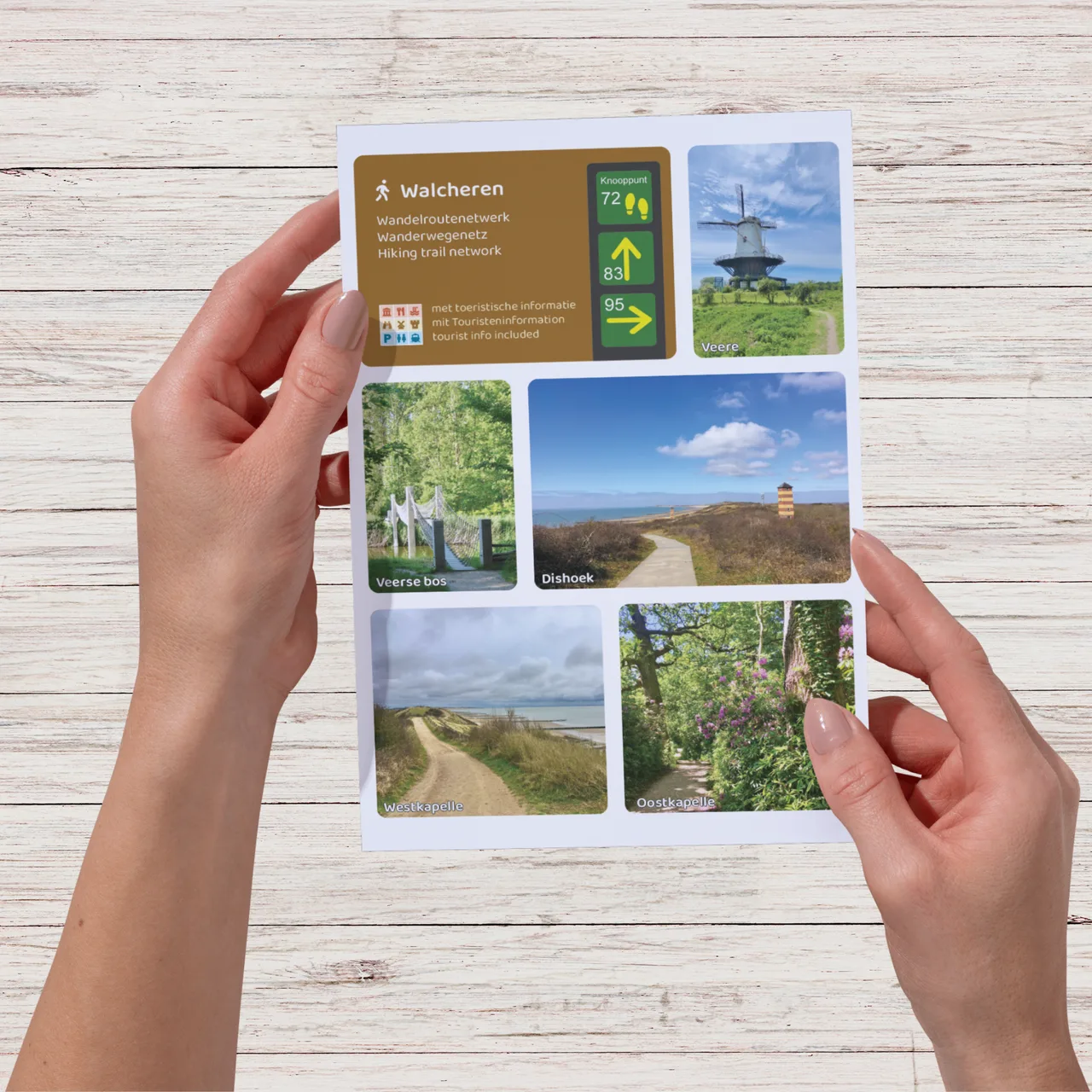
Large-format printed walking map
Digital download (PDF), suitable for home printing
Digital download (PDF), suitable for home printing
Digital download (PDF), suitable for home printing
Digital download (PDF), suitable for home printing
Digital download (PDF), suitable for home printing
Digital download (PDF), suitable for home printing
Digital download (PDF), suitable for home printing
Digital download (PDF), suitable for home printing
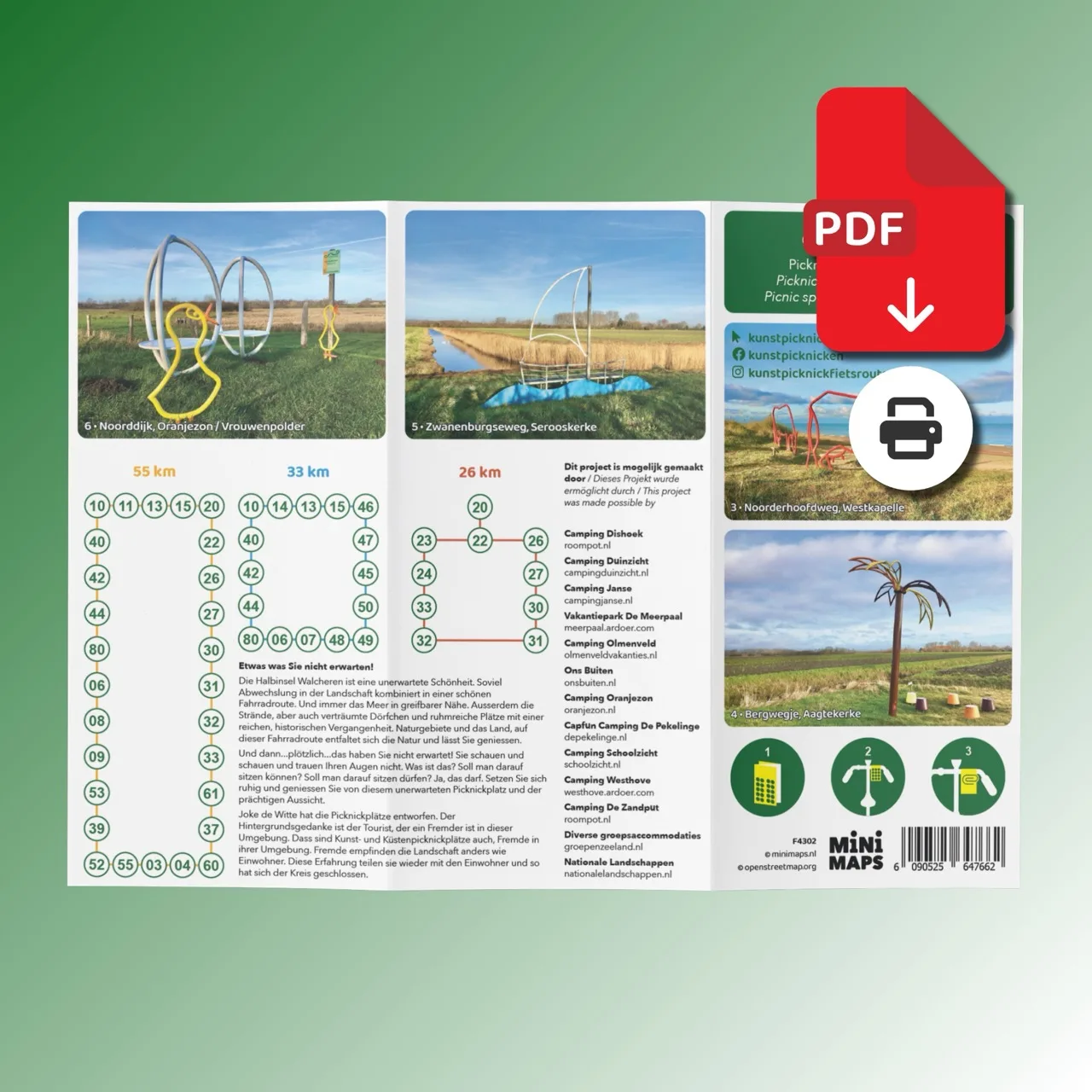
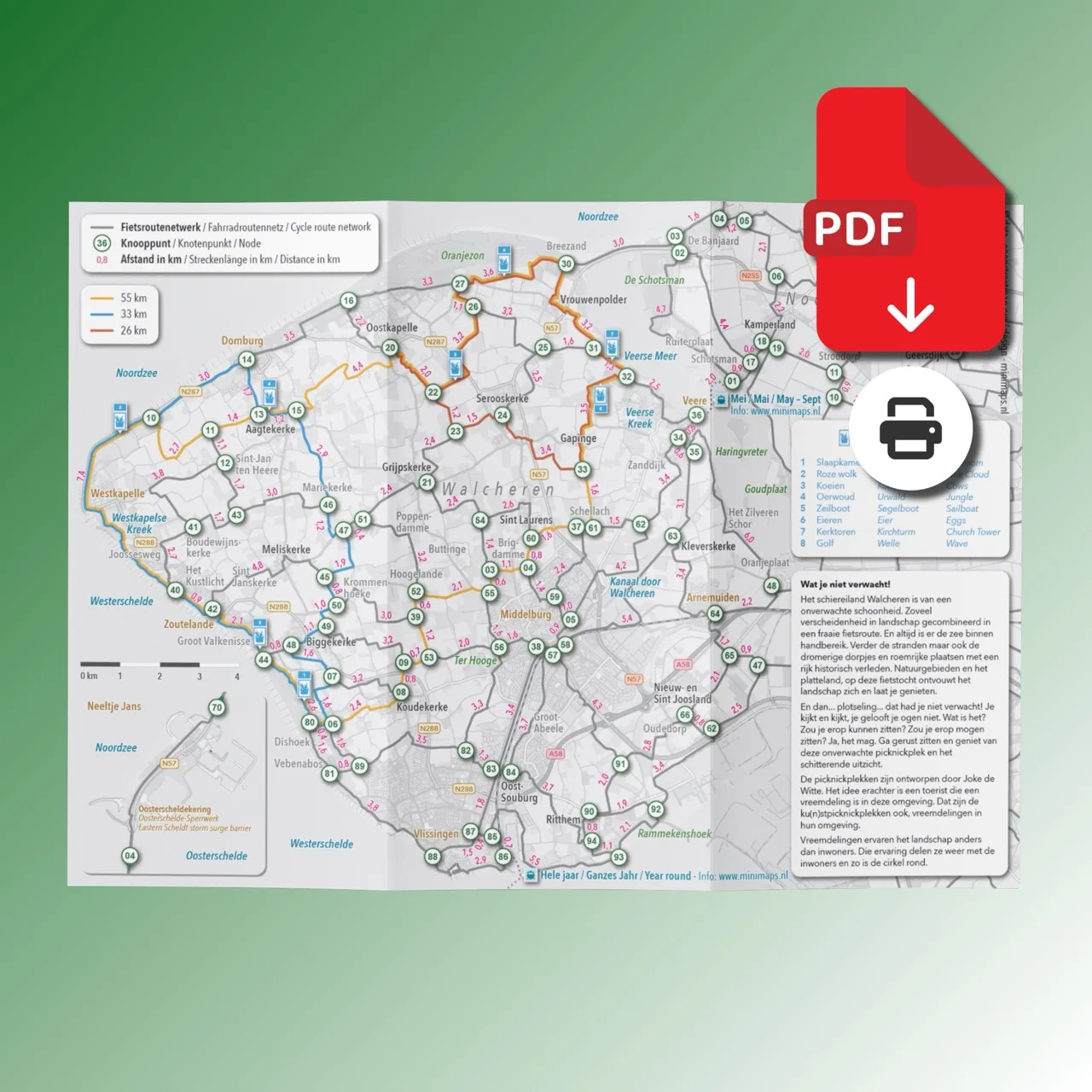
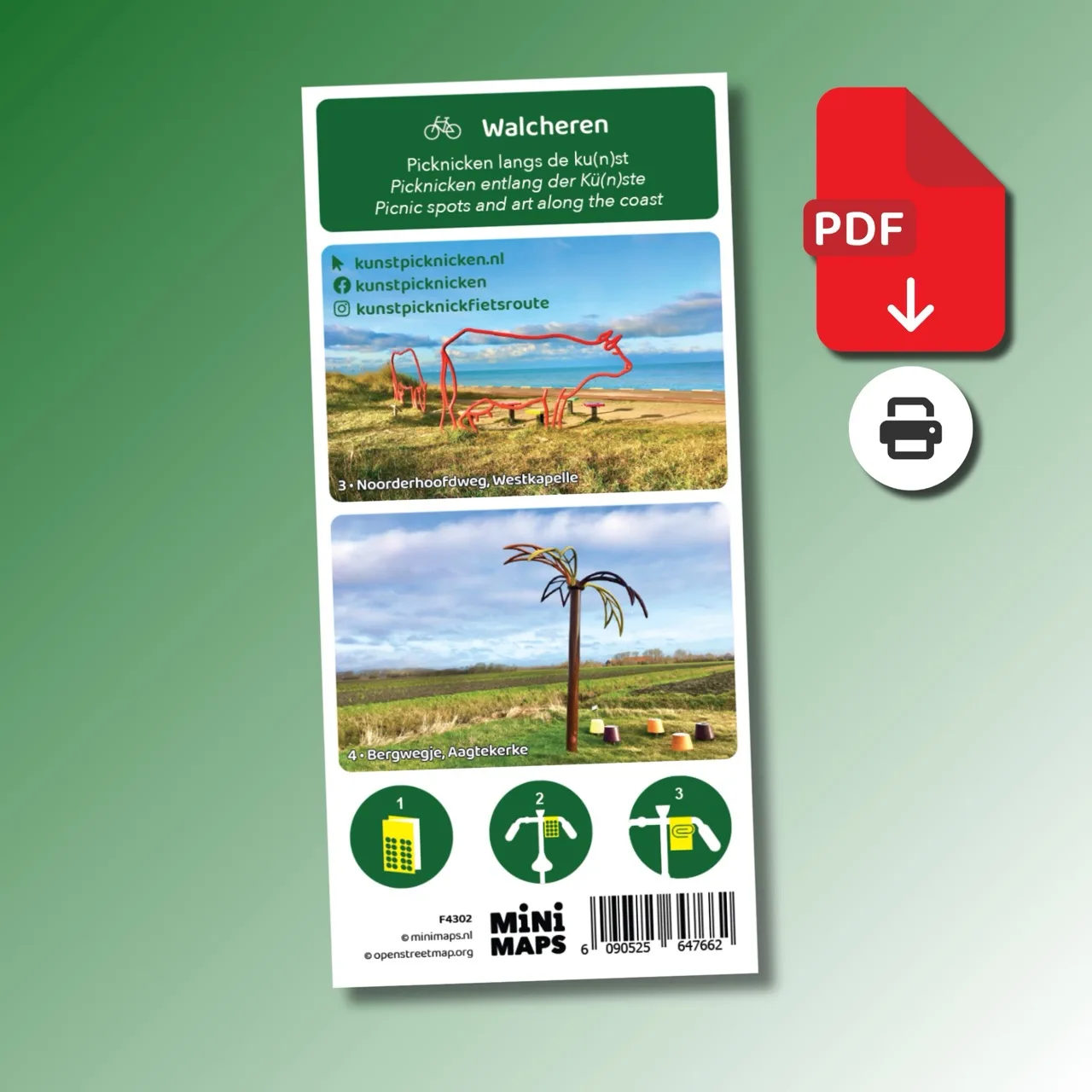
This A4 bike map of Walcheren combines the full cycling node network with special cycling routes to art locations and scenic picnic spots. Using the cycling node network you can easily create your own route or follow one of the three suggested cycling routes.
While cycling across Walcheren you pass dunes, beaches, forests and open countryside. Along the way you encounter unique picnic places that are part of an art project by artist Joke de Witte. These artistic benches create surprising resting points in the landscape.
The map includes three ready-made cycling routes between 26 and 55 km that guide you along the artworks and the most beautiful places on Walcheren.