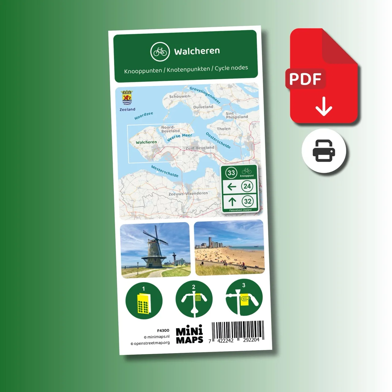
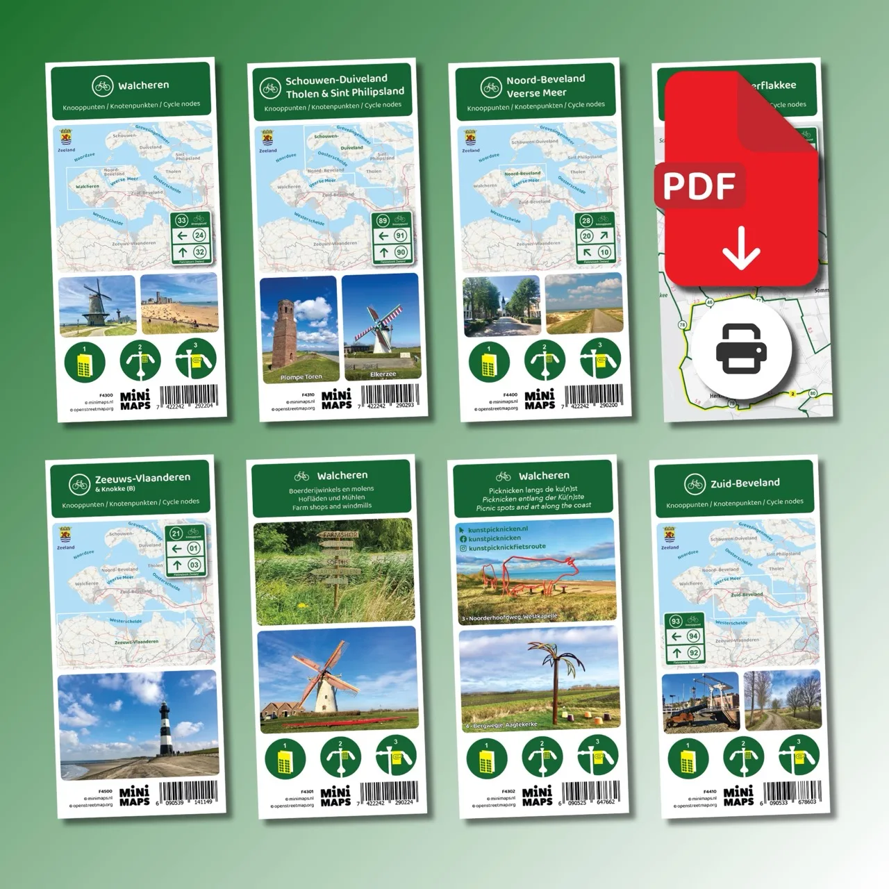
Printed cycling map of Walcheren
Cycling map of Walcheren with cycling node network, nodes, distances, four cycle routes and tourist information.
- Printed cycling map of Walcheren
- Clear cycling route network with nodes and distances
- Includes four specially designed node routes
- Includes tourist information such as sights and museums
- Includes a map of Neeltje Jans
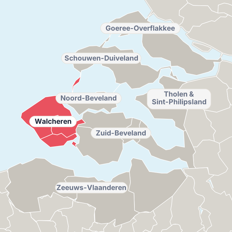
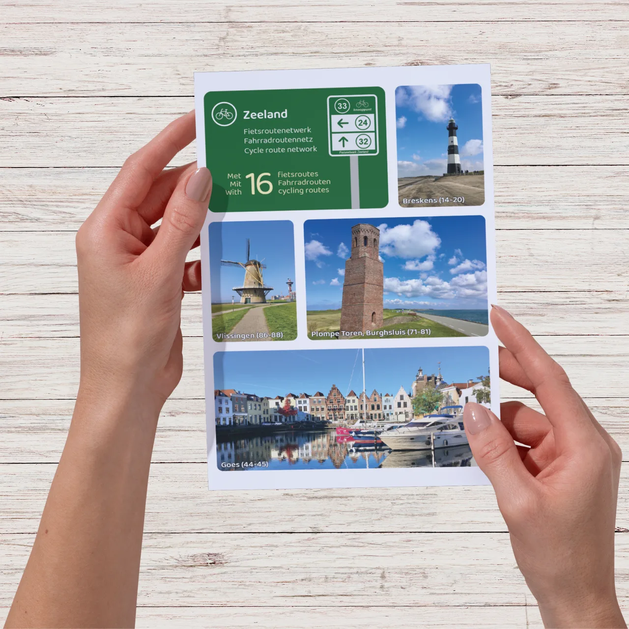
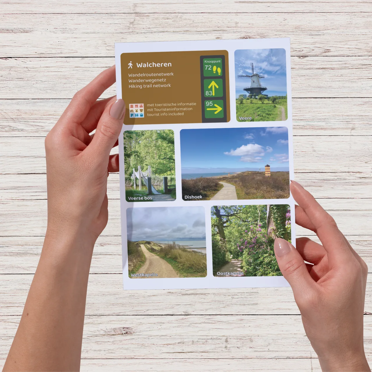
Walcheren is one of Zeeland’s most varied cycling regions. Within short distances you will find dunes, beaches, woodland, historic towns and open countryside. From the boulevard of Vlissingen to the beaches of Zoutelande and Domburg, from historic Veere on the Veerse Meer to Middelburg with the Abbey and the Lange Jan tower: this map helps you discover Walcheren by bike.
With the cycling node network you can easily create your own route. The map also includes four specially designed cycle routes along the most beautiful parts of the peninsula.
Why this cycling map?
- Compact map with a clear overview of the cycling route network and distances between nodes.
- Create your own routes using the complete cycling node network of Walcheren.
- Includes the blue 69 km node route along beaches, dunes, De Manteling, Westhove Castle, Veere and the boulevard of Vlissingen.
- Includes the yellow 47 km node route through the quiet countryside of Walcheren.
- Includes the red 47 km node route via Oranjezon, Vrouwenpolder, the Veerse Meer, Veere and Arnemuiden.
- Includes the green 28 km node route along historic refuge mounds.
- Includes tourist information such as sights and museums.
- Includes a map of Neeltje Jans.
This map is sold through a partner shop; checkout takes place on our partner’s website.