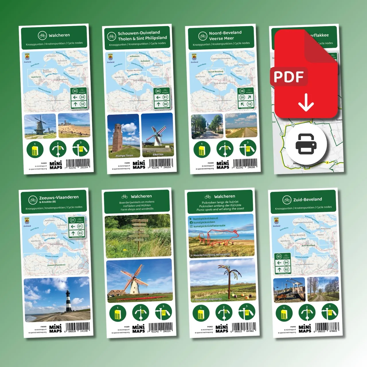
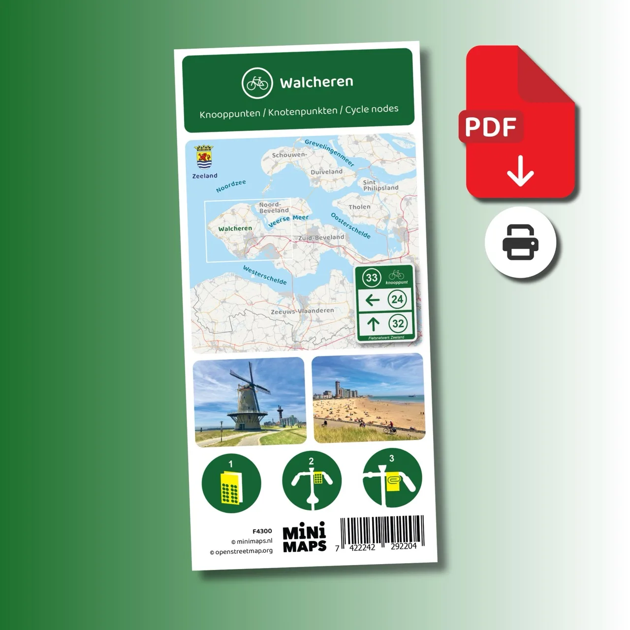
Digital download (PDF), suitable for home printing
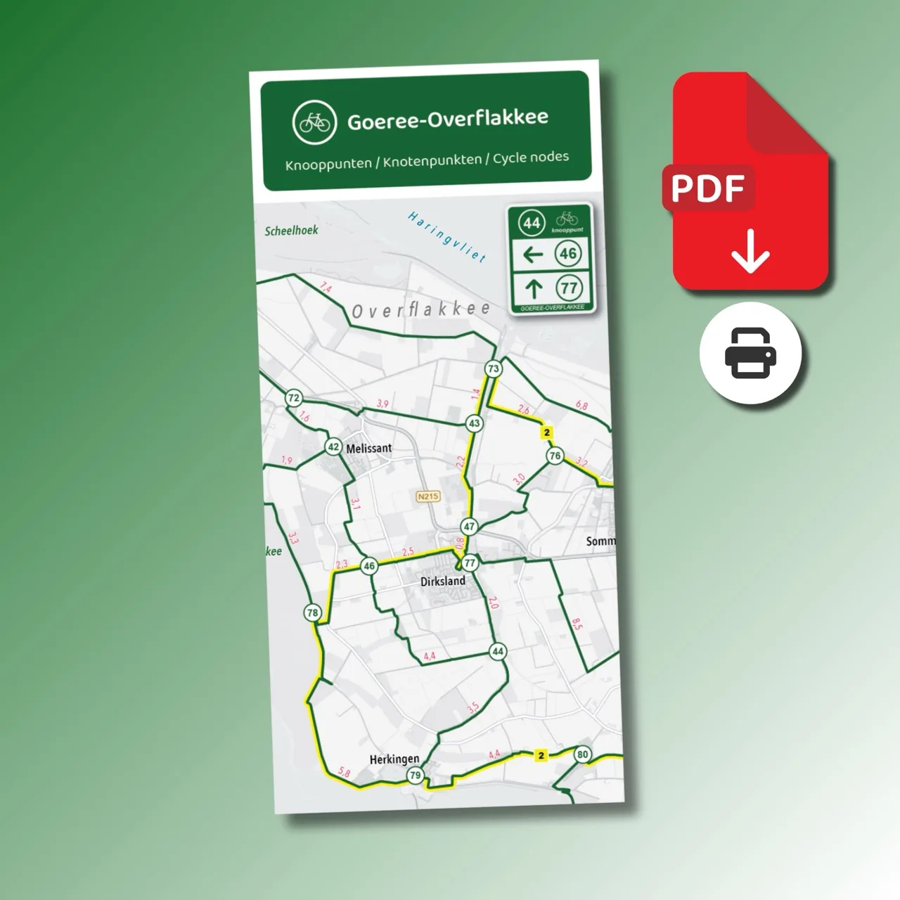
Large-format printed cycling map
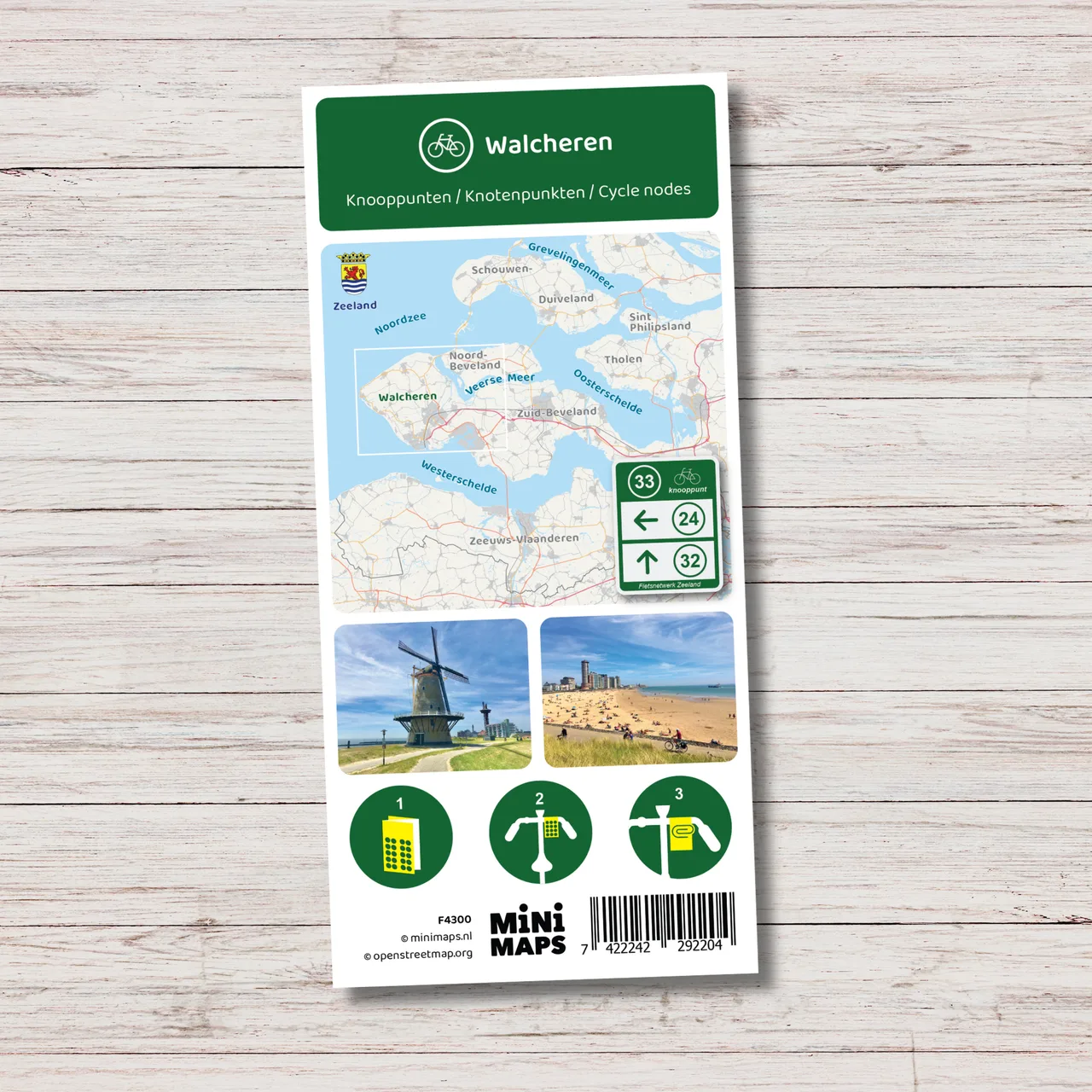
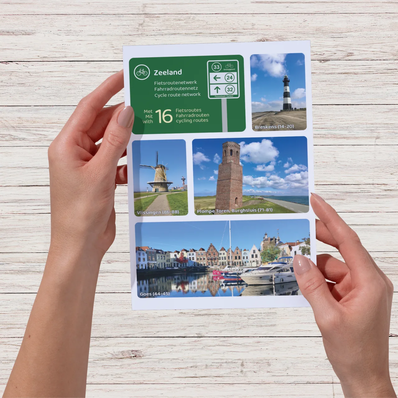
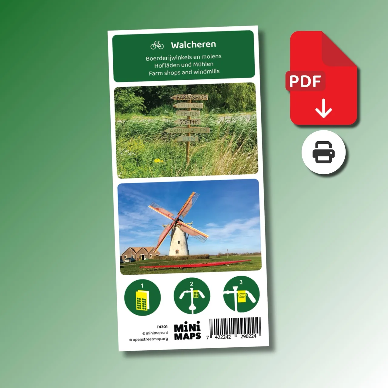
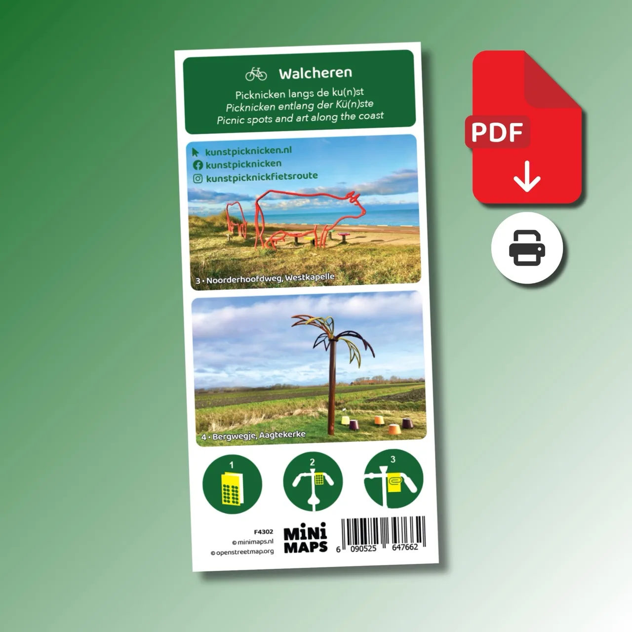
Printed cycling map of Walcheren

Large-format printed walking map
Digital download (PDF), suitable for home printing
Digital download (PDF), suitable for home printing
Digital download (PDF), suitable for home printing
Digital download (PDF), suitable for home printing
Digital download (PDF), suitable for home printing
Digital download (PDF), suitable for home printing
Digital download (PDF), suitable for home printing
Digital download (PDF), suitable for home printing
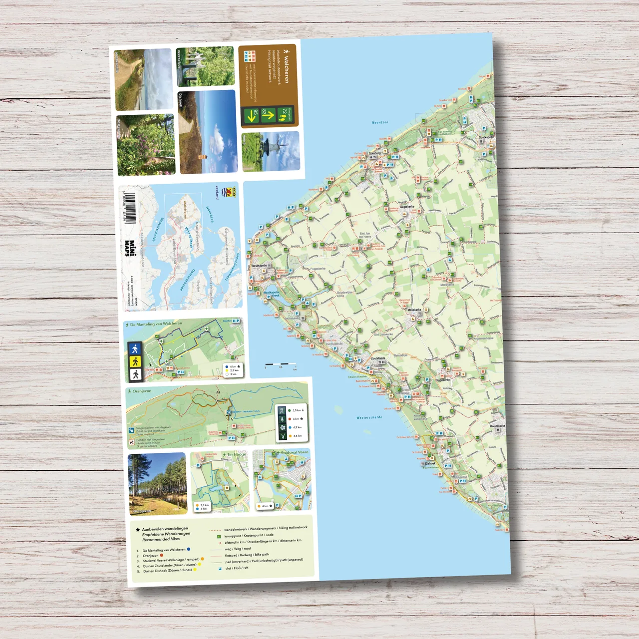
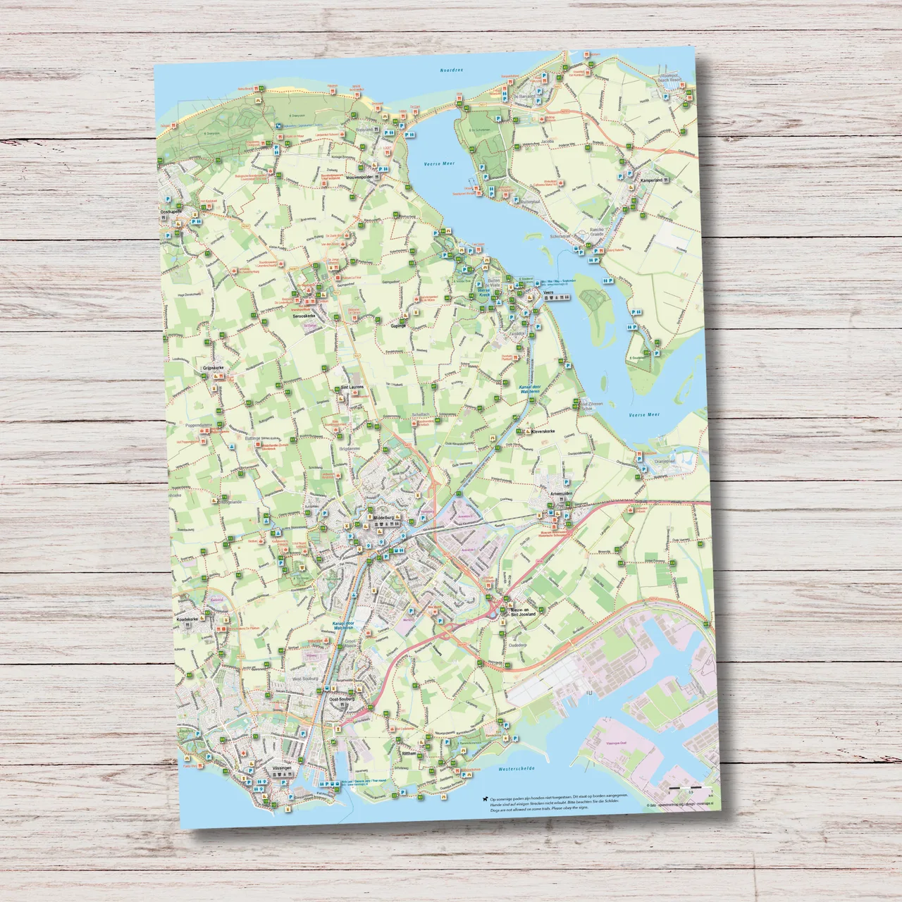
Walcheren is a walking paradise where dunes, beaches, woodland and countryside constantly alternate. With this large walking map you can easily plan your own route across the walking node network, from De Manteling and Oranjezon to the city walls of Veere, the beaches near Zoutelande and Domburg and the open landscape around Middelburg.
The map gives a clear overview of the complete walking route network on Walcheren, including distances between nodes. It also includes additional waymarked routes in areas such as De Manteling, Oranjezon, the Ter Hooge estate and Veere.
Why this walking map?
This map is sold through a partner shop; checkout takes place on our partner’s website.