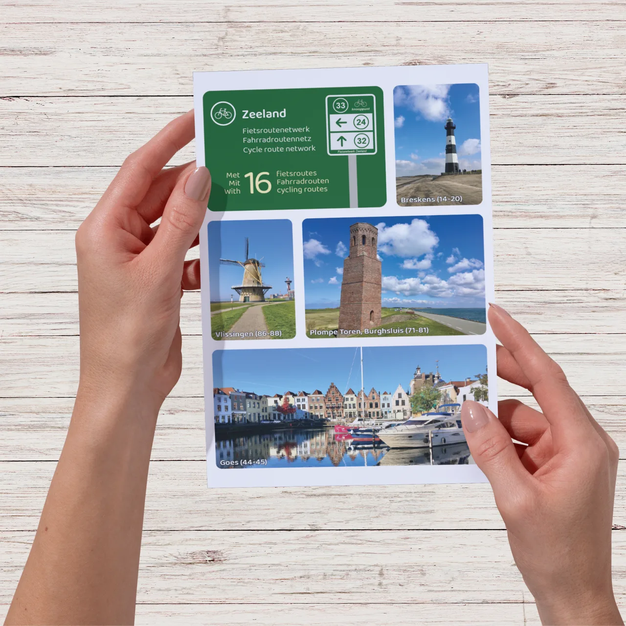
Digital download (PDF), suitable for home printing
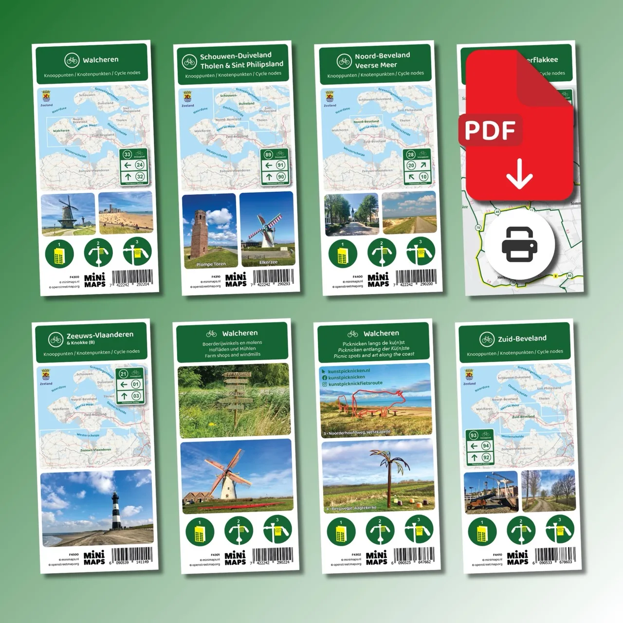
Large-format printed cycling map
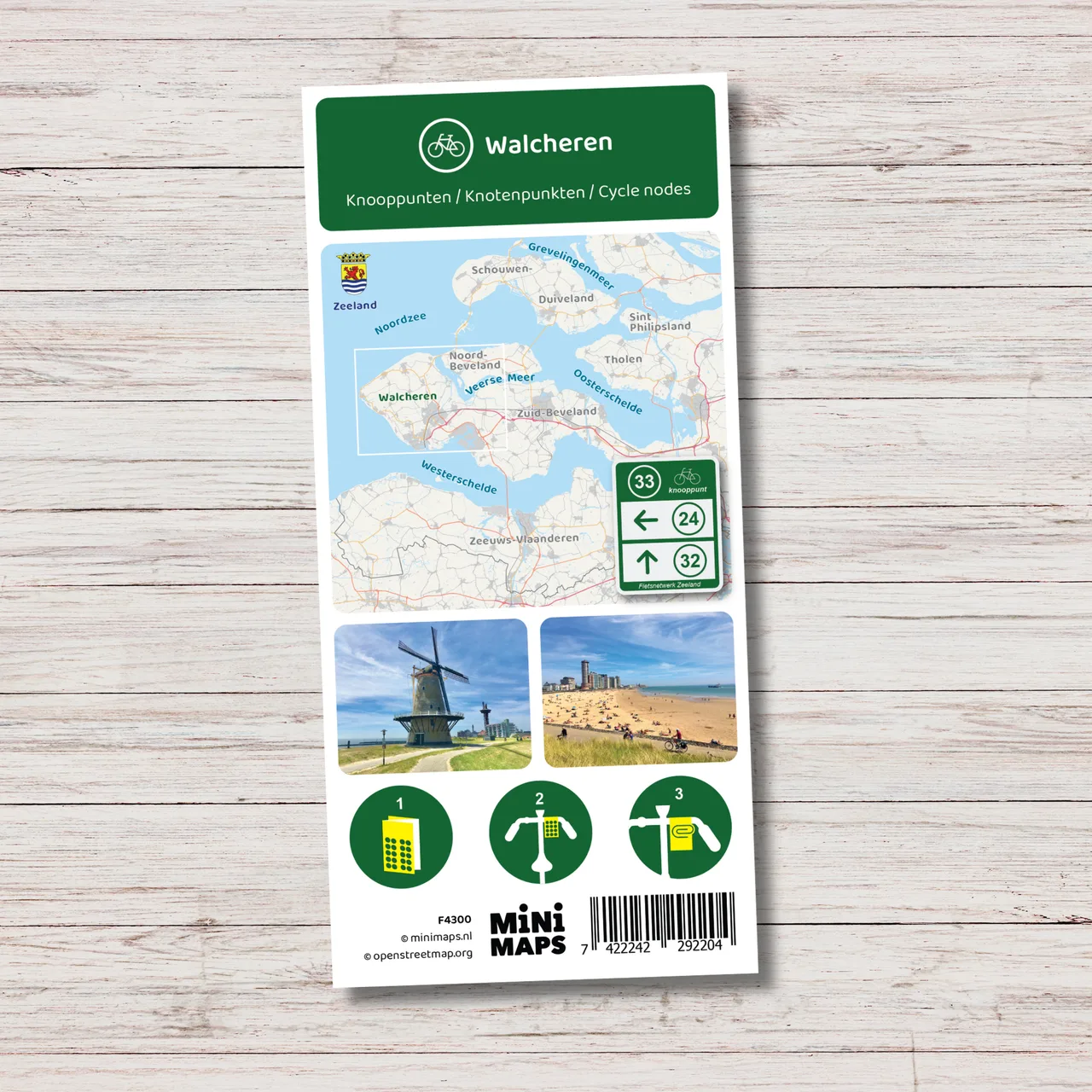
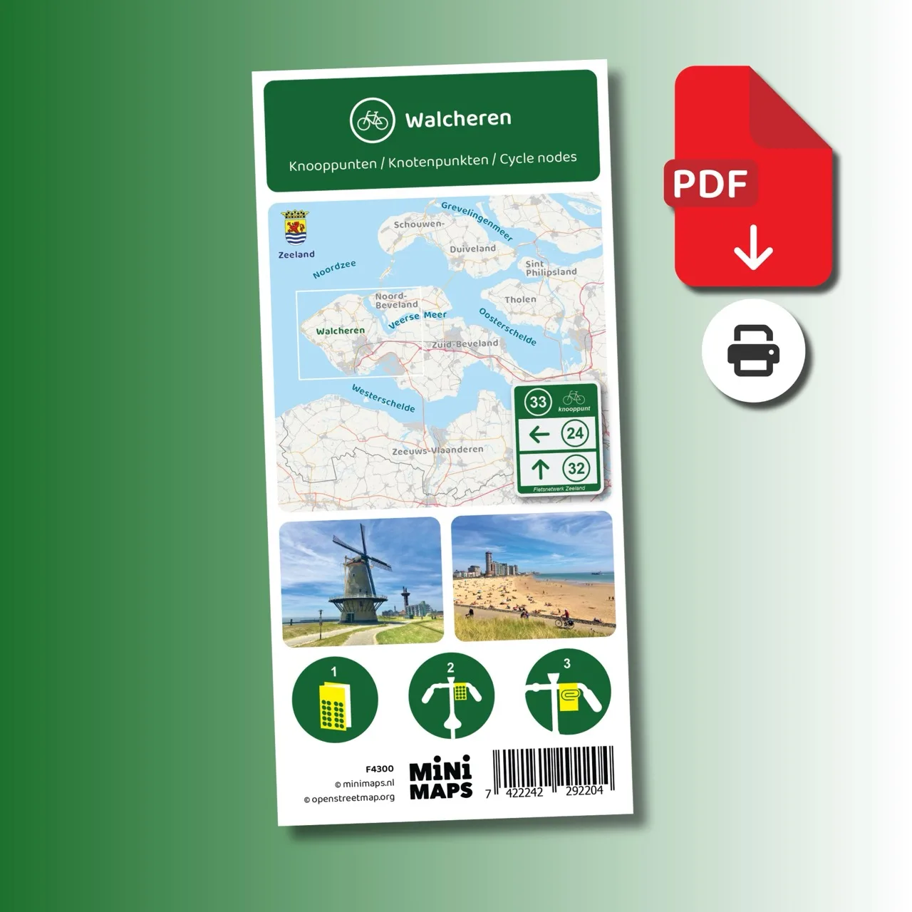
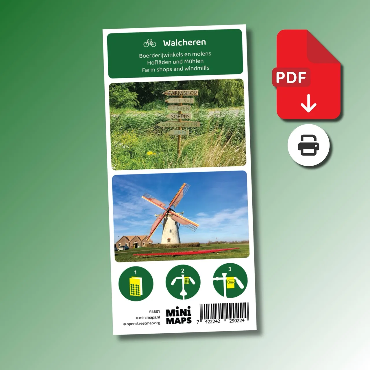
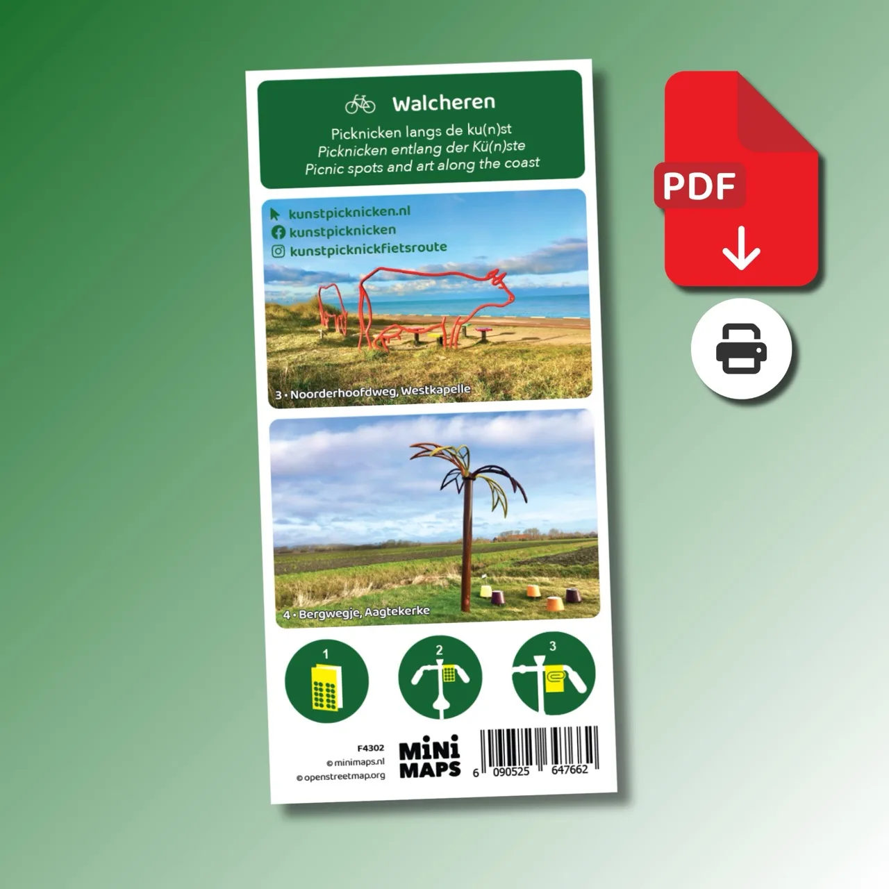
Printed cycling map of Walcheren
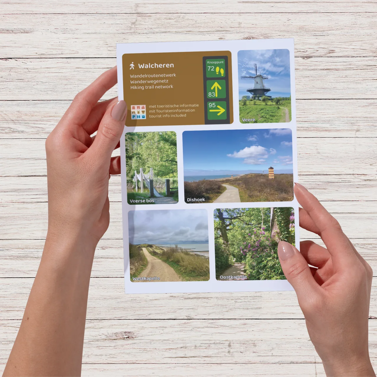
Large-format printed walking map
Digital download (PDF), suitable for home printing
Digital download (PDF), suitable for home printing
Digital download (PDF), suitable for home printing
Digital download (PDF), suitable for home printing
Digital download (PDF), suitable for home printing
Digital download (PDF), suitable for home printing
Digital download (PDF), suitable for home printing
Digital download (PDF), suitable for home printing
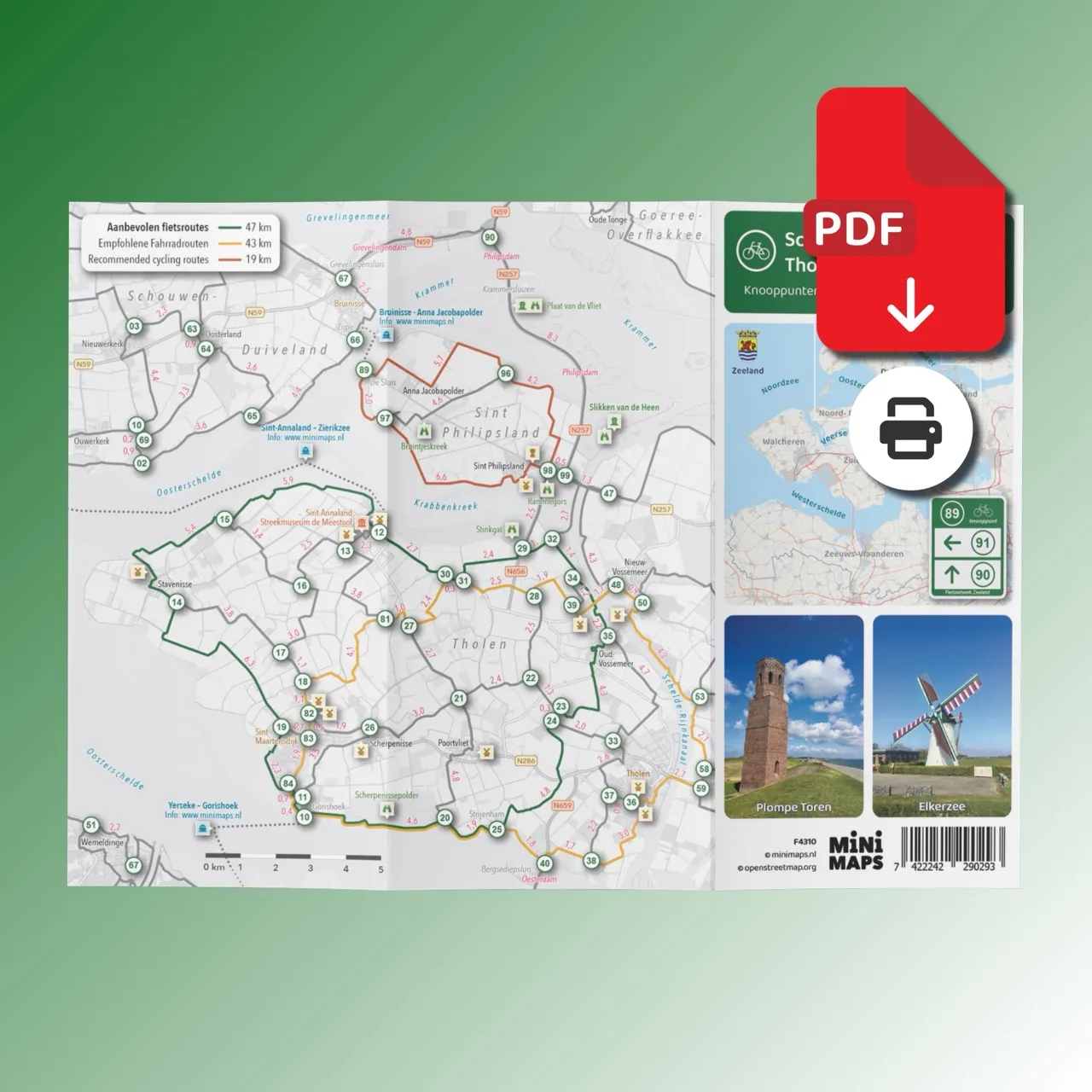
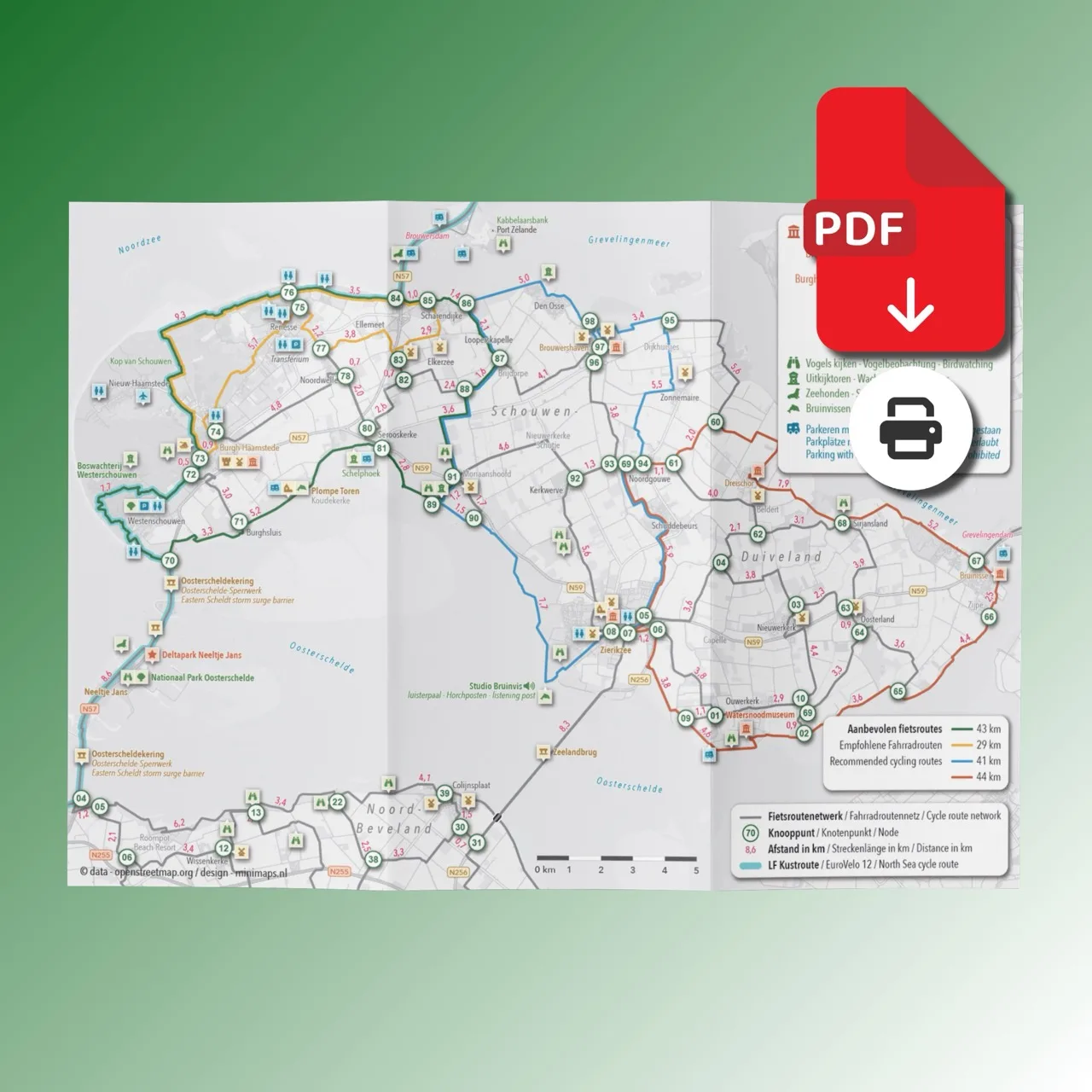
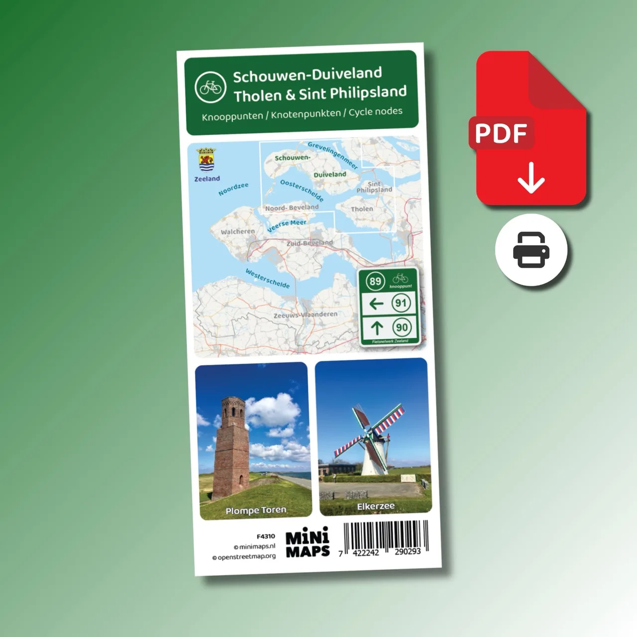
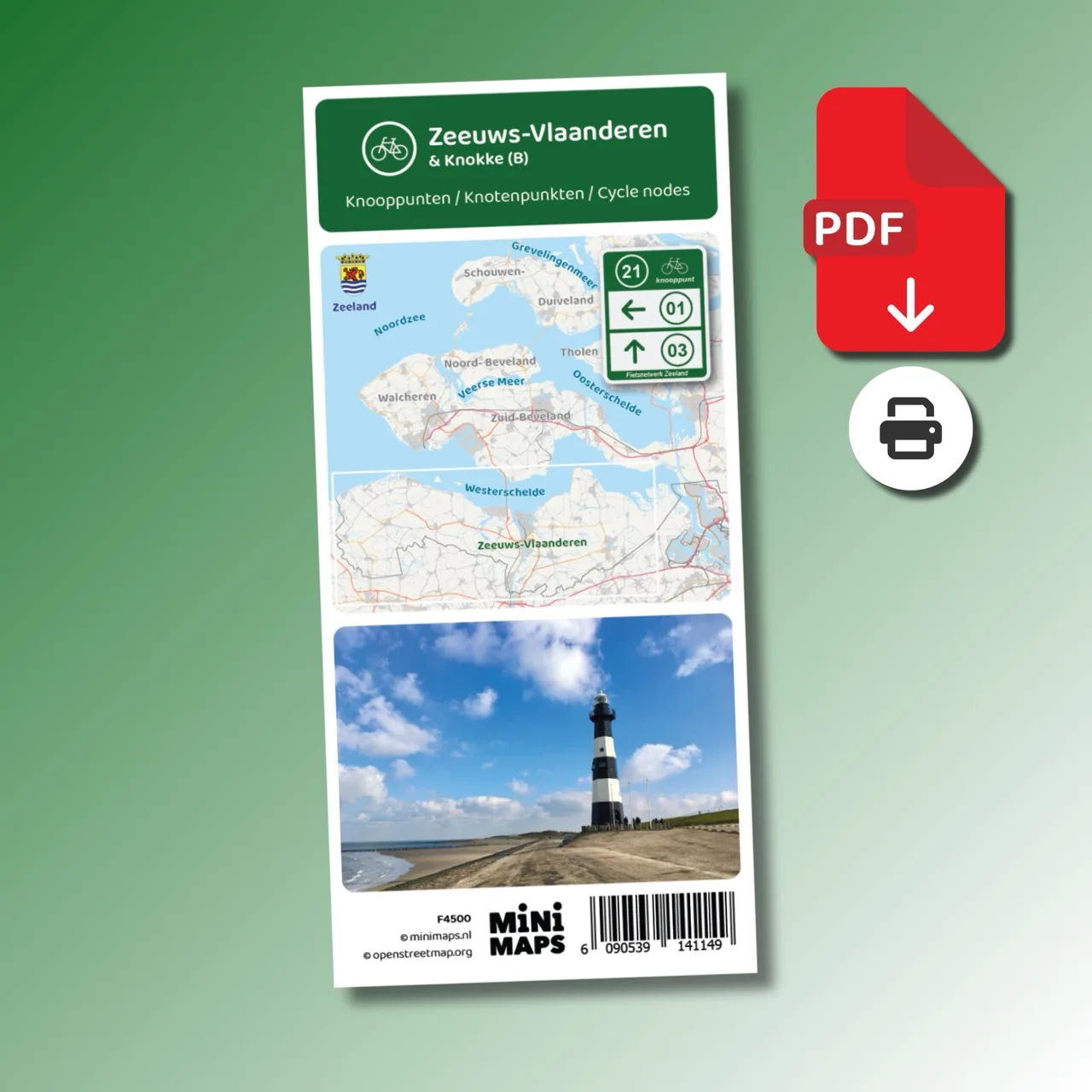
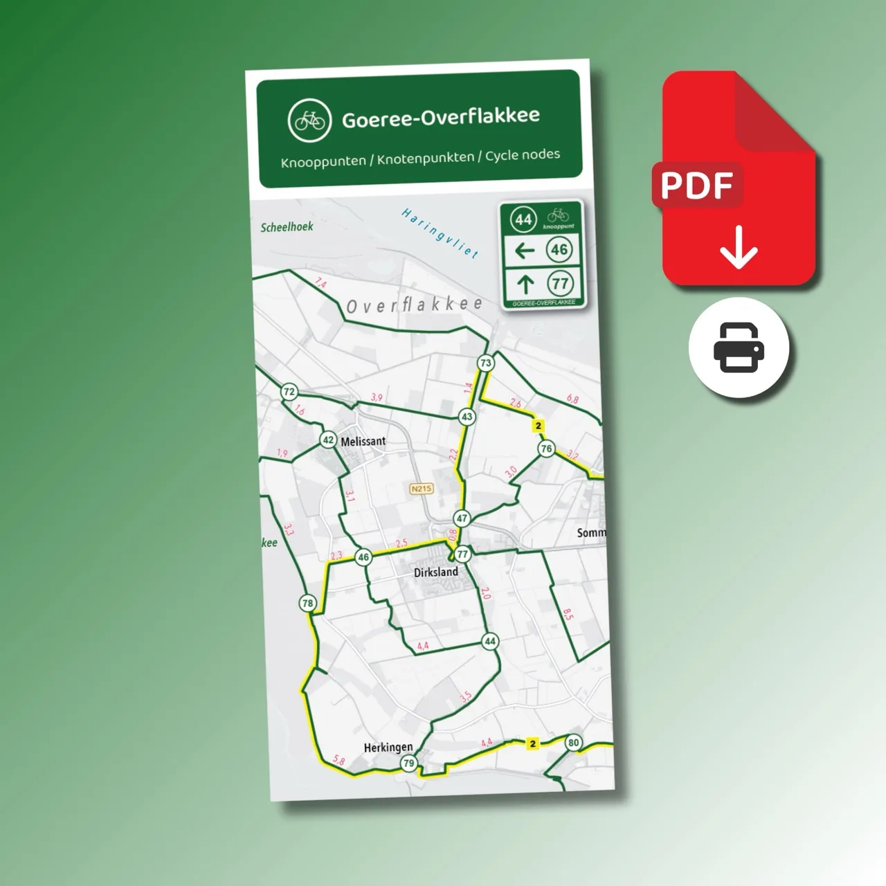
Schouwen-Duiveland, Tholen and Sint Philipsland together form a diverse region to explore by bike. With the extensive cycling node network you can easily create your own routes along the coast, through nature reserves and through historic villages. This A4 bike map provides a complete overview of the cycling route network with all nodes and distances.
From the Kop van Schouwen and the beaches near Renesse to the historic town of Zierikzee and the quiet polders of Tholen and Sint Philipsland: with this bike map you can easily plan a varied cycling trip through one of Zeeland’s most beautiful cycling regions. Along the Oosterschelde and the Grevelingenmeer you may regularly spot seals, porpoises and many bird species.
Why this bike map?